Portland Island Area, Portland Island Postcode(4108) & Map in Portland Island
Portland Island Area, Portland Island Postcode(4108) & Map in Portland Island, Wairoa District, New Zealand
Portland Island, Wairoa District, New Zealand
Portland Island Postcodes
Portland Island Area (estimated)
1.8 square kilometersPortland Island Population (estimated)
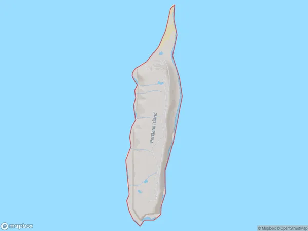
0 people live in Portland Island, Hawke's Bay, NZPortland Island Suburb Area Map (Polygon)
Portland Island Introduction
Portland Island is a small, rocky island located in the Hawke's Bay region of New Zealand. It is known for its scenic beauty, including rugged cliffs, sandy beaches, and native bird species. The island is a popular destination for day trips and camping, with a small population of permanent residents. It is also home to a historic lighthouse and a former penal colony.Region
Suburb Name
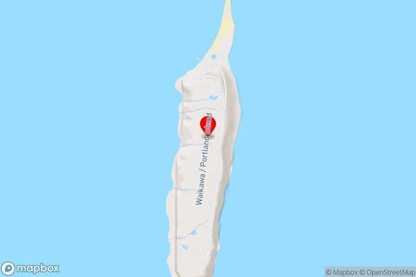
Portland IslandPortland Island Area Map (Street)
Local Authority
Wairoa DistrictFull Address
Portland Island, Wairoa District, New ZealandAddress Type
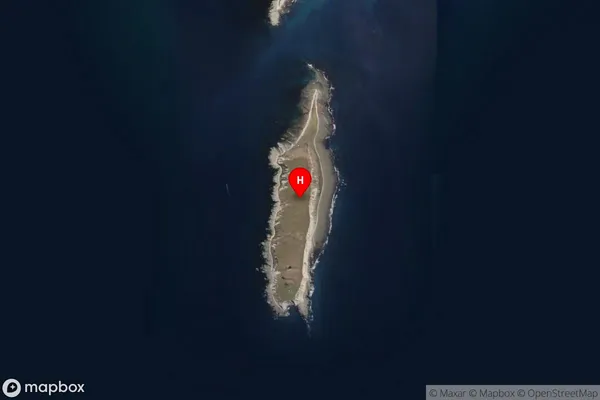
IslandPortland Island Suburb Map (Satellite)
Country
Main Region in AU
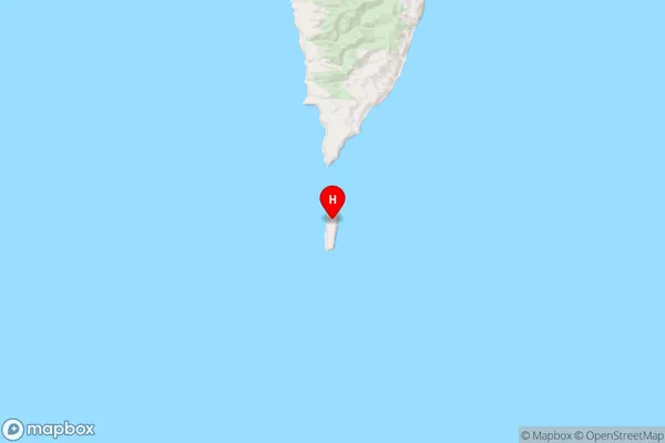
Hawke's BayPortland Island Region Map
Coordinates
-39.2905546,177.867954787418 (latitude/longitude)Distances
The distance from Portland Island, , Wairoa District to NZ Top 10 Cities