Popotai Island Area, Popotai Island Postcode & Map in Popotai Island
Popotai Island Area, Popotai Island Postcode & Map in Popotai Island, Westland District, New Zealand
Popotai Island, Westland District, New Zealand
Popotai Island Area (estimated)
0.0 square kilometersPopotai Island Population (estimated)
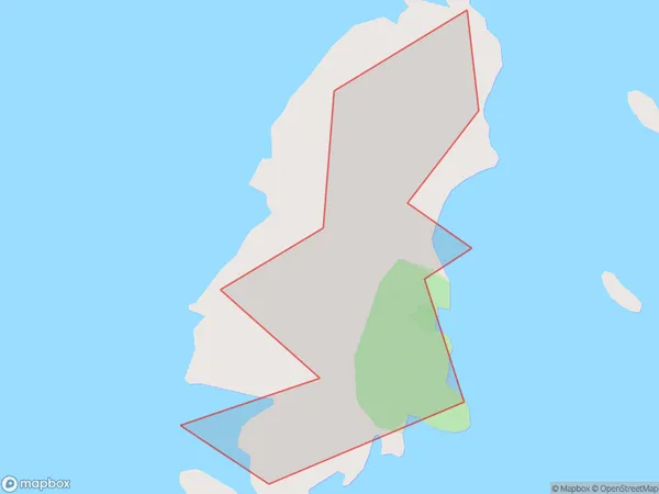
0 people live in Popotai Island, West Coast, NZPopotai Island Suburb Area Map (Polygon)
Popotai Island Introduction
Popotai Island is located in the Marlborough Sounds of New Zealand's West Coast region. It is a small, uninhabited island with a rich history and stunning natural surroundings. The island was used as a penal settlement in the 1800s and has ruins of the prison buildings and cells. It is also a popular spot for hiking, kayaking, and wildlife viewing, with a variety of bird species and marine mammals including seals and dolphins.Region
Suburb Name
Popotai Island (Maori Name: Pōpōtai Island)Other Name(s)
Open Bay IslandsPopotai Island Area Map (Street)

Local Authority
Westland DistrictFull Address
Popotai Island, Westland District, New ZealandAddress Type
IslandPopotai Island Suburb Map (Satellite)

Country
Main Region in AU
West CoastPopotai Island Region Map

Coordinates
-43.8619507,168.876188064098 (latitude/longitude)Distances
The distance from Popotai Island, , Westland District to NZ Top 10 Cities