Pomona Island Area, Pomona Island Postcode(9643) & Map in Pomona Island
Pomona Island Area, Pomona Island Postcode(9643) & Map in Pomona Island, Southland District, New Zealand
Pomona Island, Southland District, New Zealand
Pomona Island Postcodes
Pomona Island Area (estimated)
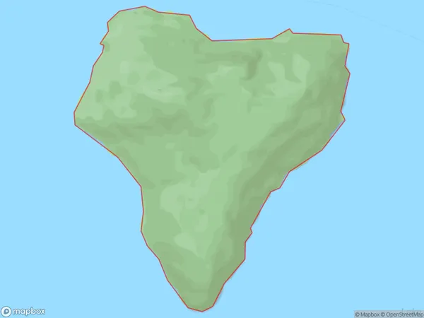
3.2 square kilometersPomona Island Population (estimated)
0 people live in Pomona Island, Fiordland Community, NZPomona Island Suburb Area Map (Polygon)
Pomona Island Introduction
Pomona Island is a small island located in Fiordland National Park, Southland, New Zealand. It is known for its stunning natural beauty, including lush forests, crystal-clear lakes, and breathtaking waterfalls. The island is a popular destination for hiking, camping, and fishing, and is home to a variety of wildlife, including kea, kiwi, and fur seals.Region
Major City
Suburb Name
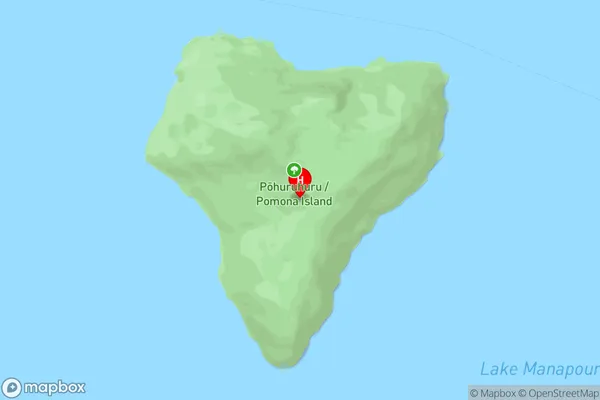
Pomona IslandOther Name(s)
Lake ManapouriPomona Island Area Map (Street)
Local Authority
Southland DistrictFull Address
Pomona Island, Southland District, New ZealandAddress Type
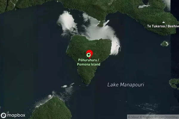
IslandPomona Island Suburb Map (Satellite)
Country
Main Region in AU
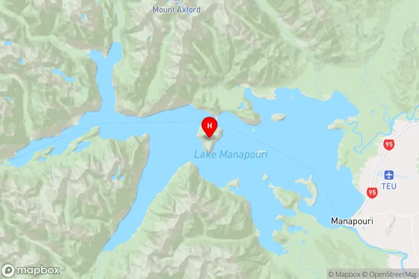
SouthlandPomona Island Region Map
Coordinates
-45.50892405,167.473175803543 (latitude/longitude)Distances
The distance from Pomona Island, , Southland District to NZ Top 10 Cities