Motumanawa / Pollen Island Area, Motumanawa / Pollen Island Postcode(1148) & Map in Motumanawa / Pollen Island
Motumanawa / Pollen Island Area, Motumanawa / Pollen Island Postcode(1148) & Map in Motumanawa / Pollen Island, Auckland, New Zealand
Motumanawa / Pollen Island, Auckland, New Zealand
Motumanawa / Pollen Island Postcodes
Motumanawa / Pollen Island Area (estimated)
0.3 square kilometersMotumanawa / Pollen Island Population (estimated)
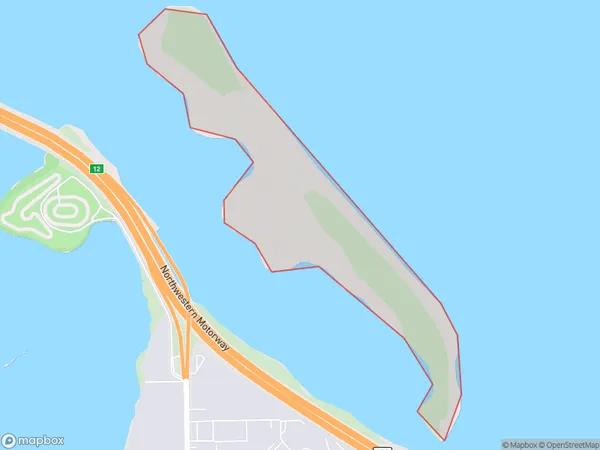
0 people live in Motumanawa / Pollen Island, Whau, NZMotumanawa / Pollen Island Suburb Area Map (Polygon)
Motumanawa / Pollen Island Introduction
Motumanawa / Pollen Island is a small, uninhabited island in the Hauraki Gulf, located off the coast of Auckland, New Zealand. It is known for its unique biodiversity and is a popular destination for birdwatching and nature walks. The island is part of the Waitemata Harbour and is accessible by ferry from downtown Auckland.Region
Major City
Suburb Name
Motumanawa / Pollen Island (Maori Name: Motumānawa / Pollen Island)Other Name(s)
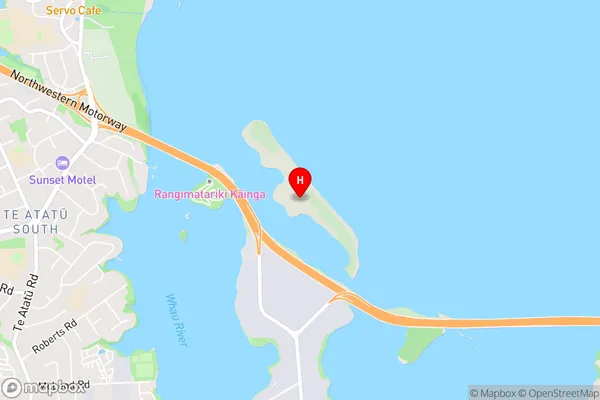
Waitemata Harbour (Maori Name: Waitematā Harbour)Motumanawa / Pollen Island Area Map (Street)
Local Authority
AucklandFull Address
Motumanawa / Pollen Island, Auckland, New ZealandAddress Type
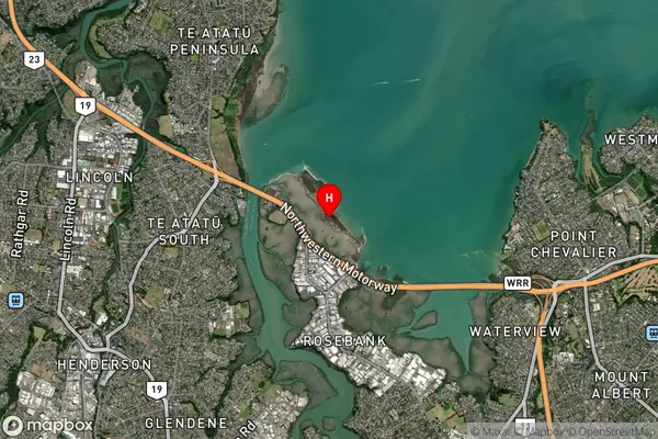
IslandMotumanawa / Pollen Island Suburb Map (Satellite)
Country
Main Region in AU
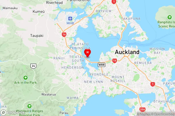
AucklandMotumanawa / Pollen Island Region Map
Coordinates
-36.8634151,174.669845608248 (latitude/longitude)Distances
The distance from Motumanawa / Pollen Island, , Auckland to NZ Top 10 Cities