Pohowaitai Island Area, Pohowaitai Island Postcode & Map in Pohowaitai Island
Pohowaitai Island Area, Pohowaitai Island Postcode & Map in Pohowaitai Island, Southland District, New Zealand
Pohowaitai Island, Southland District, New Zealand
Pohowaitai Island Area (estimated)
0.5 square kilometersPohowaitai Island Population (estimated)
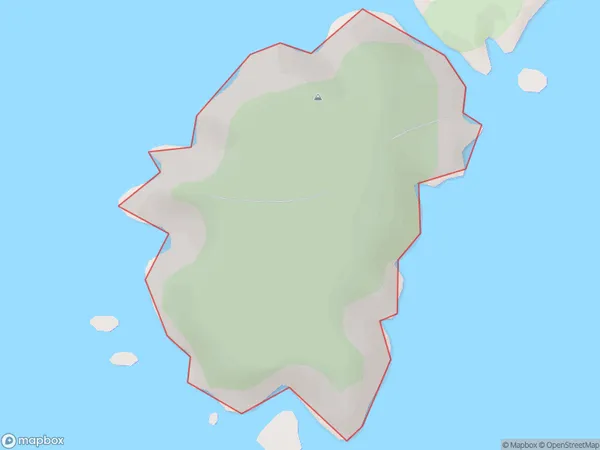
0 people live in Pohowaitai Island, Southland, NZPohowaitai Island Suburb Area Map (Polygon)
Pohowaitai Island Introduction
Pohowaitai Island is a small, uninhabited island located in Fiordland National Park, Southland, New Zealand. It is known for its stunning natural beauty, including rugged cliffs, dense forests, and crystal-clear waters. The island is a popular destination for hiking, kayaking, and wildlife viewing, with a variety of bird species and marine life. It is also home to a historic lighthouse and a small research station.Region
Suburb Name
Pohowaitai IslandOther Name(s)
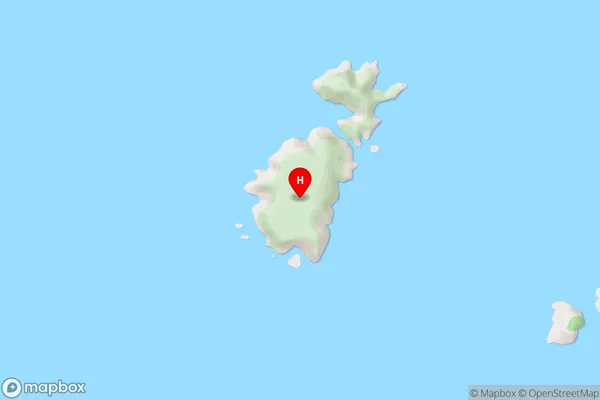
Titi / Muttonbird Islands (Maori Name: Tītī / Muttonbird Islands)Pohowaitai Island Area Map (Street)
Local Authority
Southland DistrictFull Address
Pohowaitai Island, Southland District, New ZealandAddress Type
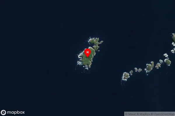
IslandPohowaitai Island Suburb Map (Satellite)
Country
Main Region in AU
SouthlandPohowaitai Island Region Map

Coordinates
-47.2250902,167.3250262 (latitude/longitude)Distances
The distance from Pohowaitai Island, , Southland District to NZ Top 10 Cities