Pitokuku Island Area, Pitokuku Island Postcode(1148) & Map in Pitokuku Island
Pitokuku Island Area, Pitokuku Island Postcode(1148) & Map in Pitokuku Island, Auckland, New Zealand
Pitokuku Island, Auckland, New Zealand
Pitokuku Island Postcodes
Pitokuku Island Area (estimated)
0.0 square kilometersPitokuku Island Population (estimated)
0 people live in Pitokuku Island, Aotea Great Barrier, NZPitokuku Island Suburb Area Map (Polygon)
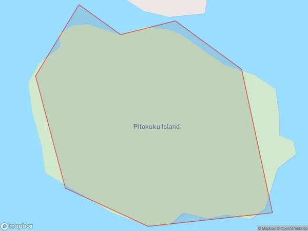
Pitokuku Island Introduction
Pitokuku Island is a small, predator-free island located in the Hauraki Gulf, just off the coast of Auckland, New Zealand. It is a popular destination for birdwatching, with over 100 species of native birds. The island also has a historic lighthouse, a beautiful beach, and a range of walking tracks. Pitokuku Island is accessible by ferry from Auckland City or by private boat.Region
Major City
Suburb Name
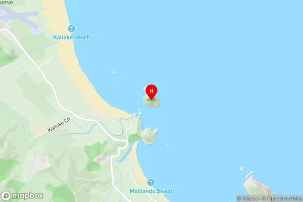
Pitokuku IslandPitokuku Island Area Map (Street)
Local Authority
AucklandFull Address
Pitokuku Island, Auckland, New ZealandAddress Type
IslandPitokuku Island Suburb Map (Satellite)

Country
Main Region in AU
AucklandPitokuku Island Region Map

Coordinates
-36.25320615,175.492210304263 (latitude/longitude)Distances
The distance from Pitokuku Island, , Auckland to NZ Top 10 Cities