Chalky Island Area, Chalky Island Postcode & Map in Chalky Island
Chalky Island Area, Chalky Island Postcode & Map in Chalky Island, Southland District, New Zealand
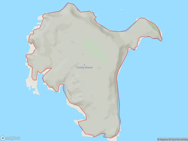
Chalky Island, Southland District, New Zealand
Chalky Island Area (estimated)
6.1 square kilometersChalky Island Population (estimated)
0 people live in Chalky Island, Southland, NZChalky Island Suburb Area Map (Polygon)
Chalky Island Introduction
Chalky Island is a small island in Fiordland National Park, Southland, New Zealand. It is known for its stunning coastal scenery, including rugged cliffs, sandy beaches, and crystal-clear waters. The island is home to a variety of wildlife, including penguins, seals, and kea. Visitors can reach Chalky Island by boat from the town of Milford Sound or by hiking a scenic trail from the nearby Milford Track.Region
Suburb Name
Chalky IslandChalky Island Area Map (Street)

Local Authority
Southland DistrictFull Address
Chalky Island, Southland District, New ZealandAddress Type
IslandChalky Island Suburb Map (Satellite)

Country
Main Region in AU
SouthlandChalky Island Region Map

Coordinates
-46.0513112,166.523026669146 (latitude/longitude)Distances
The distance from Chalky Island, , Southland District to NZ Top 10 Cities