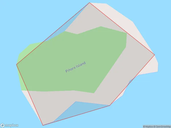
Pihore Island Area, Pihore Island Postcode & Map in Pihore Island
Pihore Island Area, Pihore Island Postcode & Map in Pihore Island, Southland District, New Zealand
Pihore Island, Southland District, New Zealand
Pihore Island Area (estimated)
0.0 square kilometersPihore Island Population (estimated)
0 people live in Pihore Island, Southland, NZPihore Island Suburb Area Map (Polygon)
Pihore Island Introduction
Pihore Island is a small island in Fiordland National Park, Southland, New Zealand. It is known for its stunning natural beauty, including crystal-clear lakes, dense forests, and breathtaking mountain views. The island is a popular destination for hiking, camping, and wildlife viewing, with a variety of species of birds, including kea and tui. Pihore Island is also home to a small community of people who live off the land and maintain a traditional Maori culture.Region
Suburb Name
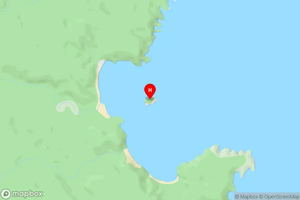
Pihore IslandOther Name(s)
Chew Tobacco BayPihore Island Area Map (Street)
Local Authority
Southland DistrictFull Address
Pihore Island, Southland District, New ZealandAddress Type
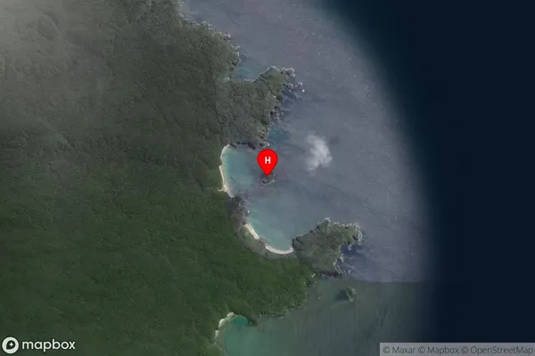
IslandPihore Island Suburb Map (Satellite)
Country
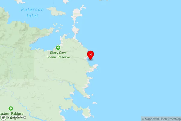
Main Region in AU
SouthlandPihore Island Region Map
Coordinates
-47.00769,168.21124 (latitude/longitude)Distances
The distance from Pihore Island, , Southland District to NZ Top 10 Cities