Grovetown Area, Grovetown Postcode(7202) & Map in Grovetown
Grovetown Area, Grovetown Postcode(7202) & Map in Grovetown, Marlborough District, New Zealand
Grovetown, Marlborough District, New Zealand
Grovetown Postcodes
Grovetown Area (estimated)
23.4 square kilometersGrovetown Population (estimated)
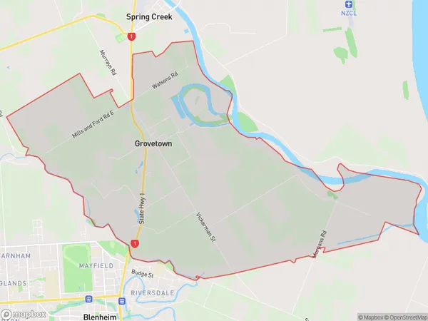
738 people live in Grovetown, Marlborough, NZGrovetown Suburb Area Map (Polygon)
Grovetown Introduction
Grovetown is a small rural community in Blenheim, Marlborough, New Zealand. It is known for its scenic rural surroundings, picturesque gardens, and friendly locals. The area has a variety of recreational facilities, including a golf course, a bowling club, and a swimming pool. Grovetown is also home to a number of historic buildings, including the Grovetown Hotel and the Old St Paul's Church.Region
Major City
Suburb Name
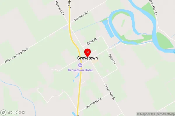
GrovetownGrovetown Area Map (Street)
Local Authority
Marlborough DistrictFull Address
Grovetown, Marlborough District, New ZealandAddress Type
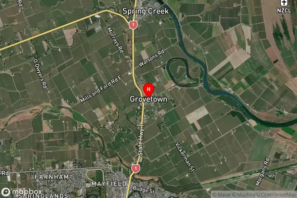
Suburb in Town BlenheimGrovetown Suburb Map (Satellite)
Country
Main Region in AU
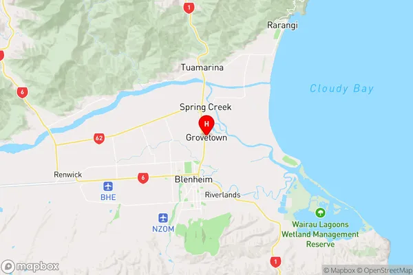
MarlboroughGrovetown Region Map
Coordinates
-41.4805618,173.9674306 (latitude/longitude)Distances
The distance from Grovetown, Blenheim, Marlborough District to NZ Top 10 Cities