Pigeon Island Area, Pigeon Island Postcode & Map in Pigeon Island
Pigeon Island Area, Pigeon Island Postcode & Map in Pigeon Island, Southland District, New Zealand
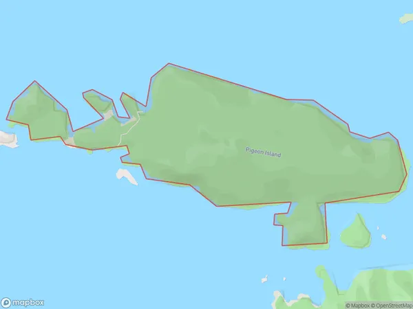
Pigeon Island, Southland District, New Zealand
Pigeon Island Area (estimated)
0.9 square kilometersPigeon Island Population (estimated)
0 people live in Pigeon Island, Southland, NZPigeon Island Suburb Area Map (Polygon)
Pigeon Island Introduction
Pigeon Island is a small island located off the coast of Southland, New Zealand. It is a popular tourist destination and is known for its rich history, including the presence of a large colony of pigeons that once lived on the island. The island has a beautiful beach, and there are several walking trails that allow visitors to explore the island's natural beauty. The island is also home to a variety of bird species, including penguins, sea birds, and albatrosses.Region
Suburb Name
Pigeon IslandOther Name(s)
Tamatea / Dusky SoundPigeon Island Area Map (Street)

Local Authority
Southland DistrictFull Address
Pigeon Island, Southland District, New ZealandAddress Type
IslandPigeon Island Suburb Map (Satellite)

Country
Main Region in AU
SouthlandPigeon Island Region Map

Coordinates
-45.7090741,166.562582894822 (latitude/longitude)Distances
The distance from Pigeon Island, , Southland District to NZ Top 10 Cities