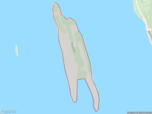
Pig Island/Matau Area, Pig Island/Matau Postcode & Map in Pig Island/Matau
Pig Island/Matau Area, Pig Island/Matau Postcode & Map in Pig Island/Matau, Queenstown-Lakes District,
Pig Island/Matau, Queenstown-Lakes District,
Pig Island/Matau Area (estimated)
1.3 square kilometersPig Island/Matau Population (estimated)
0 people live in Pig Island/Matau, Brighton, NZPig Island/Matau Suburb Area Map (Polygon)

Pig Island/Matau Introduction
Pig Island is a small, uninhabited island located in the Foveaux Strait, between the South Island of New Zealand and the Otago Peninsula. It is known for its large population of pigs, which are free to roam and graze on the island. The pigs are a mix of domestic and wild pigs, and are believed to have been introduced to the island by early European settlers. The island has become a popular tourist attraction, with visitors coming to see the pigs and enjoy the scenic surroundings.Region
Major City
Suburb Name
Pig Island/Matau (Maori Name: Pig Island/Mātau)Other Name(s)
Matau, Pig Island, Lake WakatipuPig Island/Matau Area Map (Street)
Local Authority
Queenstown-Lakes DistrictFull Address
Pig Island/Matau, Queenstown-Lakes District,Address Type
IslandPig Island/Matau Suburb Map (Satellite)
Country
Main Region in AU
OtagoPig Island/Matau Region Map
Coordinates
0,0 (latitude/longitude)Distances
The distance from Pig Island/Matau, , Queenstown-Lakes District to NZ Top 10 Cities