Pierced Stack Area, Pierced Stack Postcode & Map in Pierced Stack
Pierced Stack Area, Pierced Stack Postcode & Map in Pierced Stack, Southland District, New Zealand
Pierced Stack, Southland District, New Zealand
Pierced Stack Area (estimated)
0.0 square kilometersPierced Stack Population (estimated)
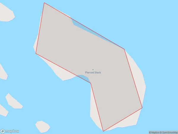
0 people live in Pierced Stack, Southland, NZPierced Stack Suburb Area Map (Polygon)
Pierced Stack Introduction
Pierced Stack is a rock formation located in Fiordland National Park, Southland, New Zealand. It is a popular hiking destination and is known for its stunning views of the surrounding landscape. The stack is named for the holes that have been carved into it by glaciers.Region
Suburb Name
Pierced StackPierced Stack Area Map (Street)

Local Authority
Southland DistrictFull Address
Pierced Stack, Southland District, New ZealandAddress Type
IslandPierced Stack Suburb Map (Satellite)

Country
Main Region in AU
SouthlandPierced Stack Region Map

Coordinates
-46.58117385,166.900711451275 (latitude/longitude)Distances
The distance from Pierced Stack, , Southland District to NZ Top 10 Cities