Matapara / Pickersgill Island Area, Matapara / Pickersgill Island Postcode & Map in Matapara / Pickersgill Island
Matapara / Pickersgill Island Area, Matapara / Pickersgill Island Postcode & Map in Matapara / Pickersgill Island, Marlborough District, New Zealand
Matapara / Pickersgill Island, Marlborough District, New Zealand
Matapara / Pickersgill Island Area (estimated)
1.2 square kilometersMatapara / Pickersgill Island Population (estimated)
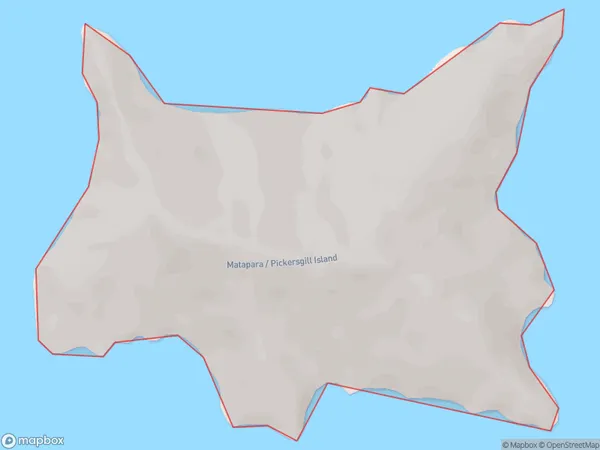
0 people live in Matapara / Pickersgill Island, Marlborough, NZMatapara / Pickersgill Island Suburb Area Map (Polygon)
Matapara / Pickersgill Island Introduction
Matapara / Pickersgill Island is located in the Marlborough Sounds, Marlborough, New Zealand. It is a small, rocky island with a population of approximately 50 people. The island is known for its stunning natural beauty, including crystal-clear waters, rugged cliffs, and lush forests. It is also home to a variety of wildlife, including seals, penguins, and birds. Visitors can reach the island by boat or hike there from the nearby mainland.Region
0Suburb Name
Matapara / Pickersgill IslandOther Name(s)
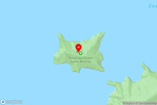
Queen Charlotte Sound (Totaranui)Matapara / Pickersgill Island Area Map (Street)
Local Authority
Marlborough DistrictFull Address
Matapara / Pickersgill Island, Marlborough District, New ZealandAddress Type
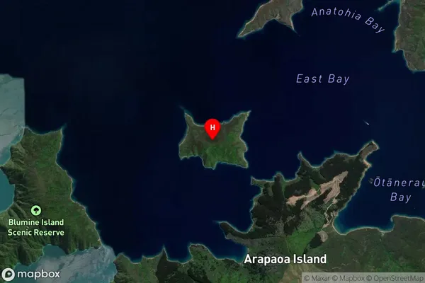
Island in Major Locality Marlborough SoundsMatapara / Pickersgill Island Suburb Map (Satellite)
Country
Main Region in AU
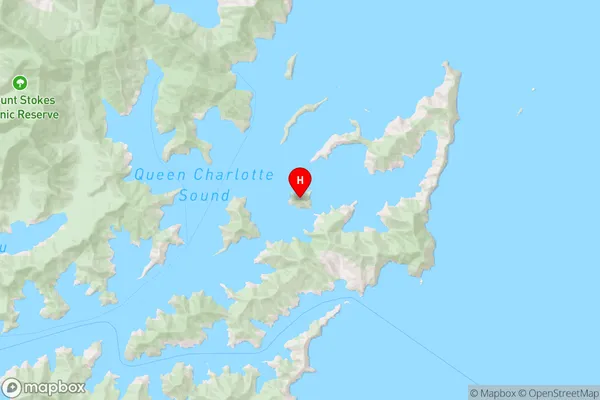
MarlboroughMatapara / Pickersgill Island Region Map
Coordinates
-41.1602529,174.281423117986 (latitude/longitude)Distances
The distance from Matapara / Pickersgill Island, Marlborough Sounds, Marlborough District to NZ Top 10 Cities