Philip Island Area, Philip Island Postcode(0153) & Map in Philip Island
Philip Island Area, Philip Island Postcode(0153) & Map in Philip Island, Whangarei District, New Zealand
Philip Island, Whangarei District, New Zealand
Philip Island Postcodes
Philip Island Area (estimated)
0.0 square kilometersPhilip Island Population (estimated)
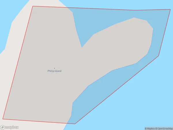
0 people live in Philip Island, Northland, NZPhilip Island Suburb Area Map (Polygon)
Philip Island Introduction
Philip Island is a wildlife reserve and popular tourist destination located off the coast of Northland, New Zealand. It is known for its large population of fur seals and penguins, as well as its scenic beaches and rugged terrain. Visitors can take guided tours to see the animals up close, and there are also opportunities for hiking, camping, and snorkeling. The island has a rich history and was once home to a Maori tribe.Region
Suburb Name
Philip IslandOther Name(s)
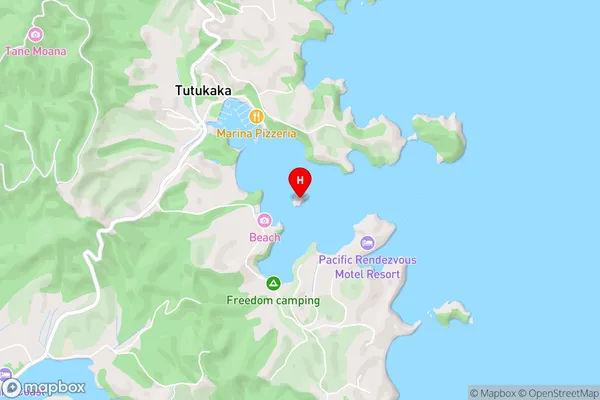
Tutukaka HarbourPhilip Island Area Map (Street)
Local Authority
Whangarei DistrictFull Address
Philip Island, Whangarei District, New ZealandAddress Type
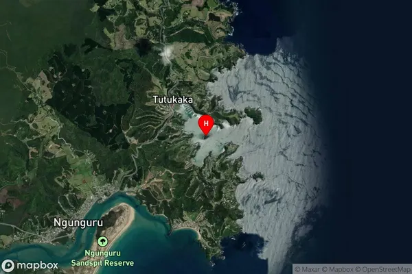
IslandPhilip Island Suburb Map (Satellite)
Country
Main Region in AU
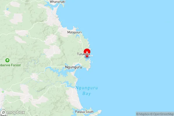
NorthlandPhilip Island Region Map
Coordinates
-35.6159654,174.532744631984 (latitude/longitude)Distances
The distance from Philip Island, , Whangarei District to NZ Top 10 Cities