Penguin Island Area, Penguin Island Postcode & Map in Penguin Island
Penguin Island Area, Penguin Island Postcode & Map in Penguin Island, Marlborough District, New Zealand
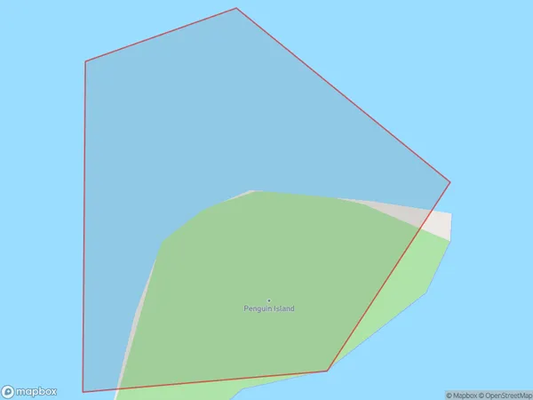
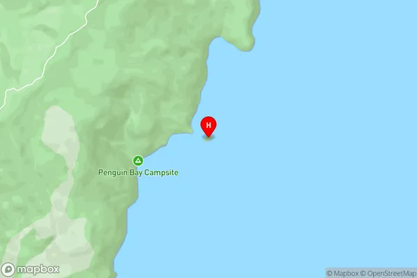
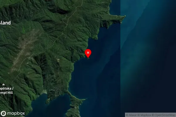
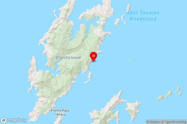
Penguin Island, Marlborough District, New Zealand
Penguin Island Area (estimated)
0.0 square kilometersPenguin Island Population (estimated)
0 people live in Penguin Island, Marlborough, NZPenguin Island Suburb Area Map (Polygon)
Penguin Island Introduction
Penguin Island is a small, rocky island in the Marlborough Sounds of New Zealand, home to a large colony of little blue penguins. Visitors can walk to the island from a nearby boat ramp and observe the penguins in their natural habitat, including nesting areas, feeding grounds, and the beach. The island is also a significant breeding ground for several species of birds, including terns, shearwaters, and albatrosses.Region
0Suburb Name
Penguin IslandPenguin Island Area Map (Street)
Local Authority
Marlborough DistrictFull Address
Penguin Island, Marlborough District, New ZealandAddress Type
Island in Major Locality Marlborough SoundsPenguin Island Suburb Map (Satellite)
Country
Main Region in AU
MarlboroughPenguin Island Region Map
Coordinates
-40.84250885,173.916898206796 (latitude/longitude)Distances
The distance from Penguin Island, Marlborough Sounds, Marlborough District to NZ Top 10 Cities