Penguin Island Area, Penguin Island Postcode(3500) & Map in Penguin Island
Penguin Island Area, Penguin Island Postcode(3500) & Map in Penguin Island, Thames-Coromandel District, New Zealand
Penguin Island, Thames-Coromandel District, New Zealand
Penguin Island Postcodes
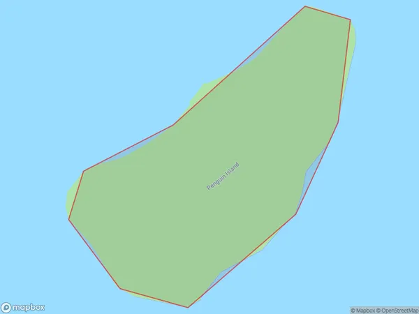
Penguin Island Area (estimated)
0.1 square kilometersPenguin Island Population (estimated)
0 people live in Penguin Island, Waikato, NZPenguin Island Suburb Area Map (Polygon)
Penguin Island Introduction
Penguin Island is a small, rocky island in the Waikato region of New Zealand, home to a large colony of little blue penguins. The island is accessible by a short boat ride from the town of Otorohanga and is a popular tourist destination. Visitors can get close to the penguins and learn about their breeding and feeding habits. The island also has a variety of other wildlife, including seals, sea birds, and albatrosses.Region
Suburb Name
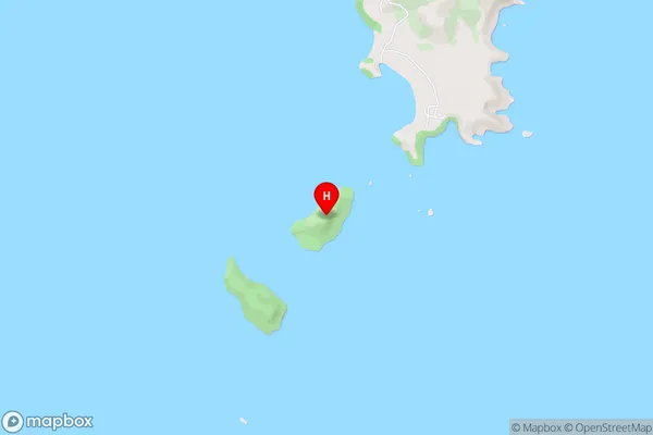
Penguin IslandPenguin Island Area Map (Street)
Local Authority
Thames-Coromandel DistrictFull Address
Penguin Island, Thames-Coromandel District, New ZealandAddress Type
IslandPenguin Island Suburb Map (Satellite)

Country
Main Region in AU
WaikatoPenguin Island Region Map

Coordinates
-37.0649643,175.931960728201 (latitude/longitude)Distances
The distance from Penguin Island, , Thames-Coromandel District to NZ Top 10 Cities