Pataua Island Area, Pataua Island Postcode(3122) & Map in Pataua Island
Pataua Island Area, Pataua Island Postcode(3122) & Map in Pataua Island, Opotiki District, New Zealand
Pataua Island, Opotiki District, New Zealand
Pataua Island Postcodes
Pataua Island Area (estimated)
0.1 square kilometersPataua Island Population (estimated)
0 people live in Pataua Island, Bay of Plenty, NZPataua Island Suburb Area Map (Polygon)
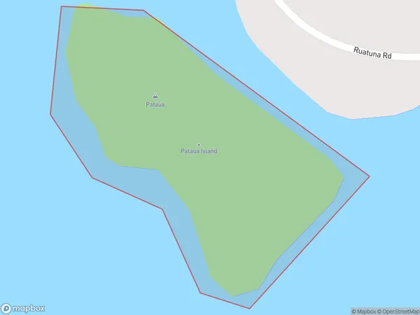
Pataua Island Introduction
Pataua Island is a small, uninhabited island in the Bay of Plenty, New Zealand. It is known for its stunning natural beauty, including rugged cliffs, sandy beaches, and crystal-clear waters. The island is a popular destination for outdoor enthusiasts, including hikers, surfers, and kayakers. It is also home to a variety of bird species, including the rare Pataua penguin.Region
Suburb Name
Pataua IslandPataua Island Area Map (Street)
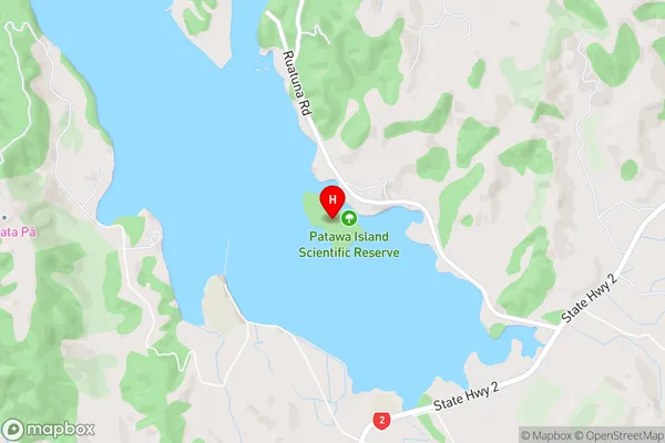
Local Authority
Opotiki District (Maori Name: Ōpōtiki District)Full Address
Pataua Island, Opotiki District, New ZealandAddress Type
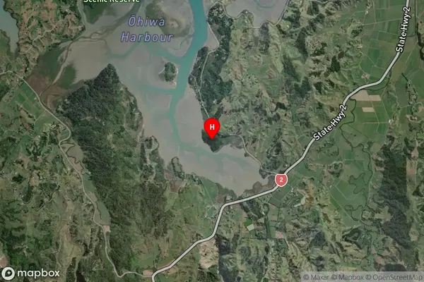
IslandPataua Island Suburb Map (Satellite)
Country
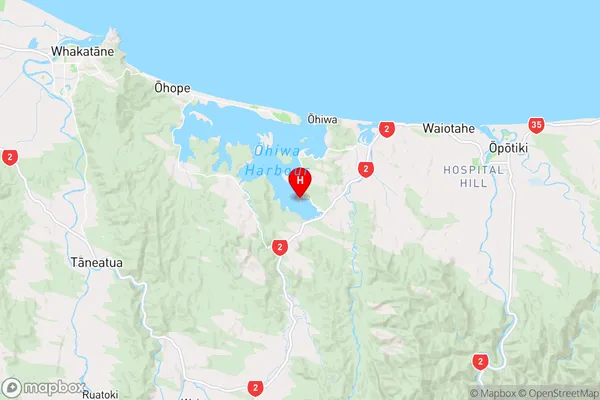
Main Region in AU
Bay of PlentyPataua Island Region Map
Coordinates
-38.03237935,177.14397379277 (latitude/longitude)Distances
The distance from Pataua Island, , Opotiki District to NZ Top 10 Cities