Motutawaki Area, Motutawaki Postcode & Map in Motutawaki
Motutawaki Area, Motutawaki Postcode & Map in Motutawaki, Southland District, New Zealand
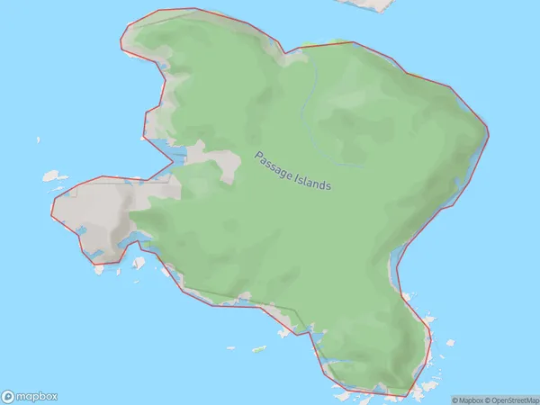
Motutawaki, Southland District, New Zealand
Motutawaki Area (estimated)
2.1 square kilometersMotutawaki Population (estimated)
0 people live in Motutawaki, Southland, NZMotutawaki Suburb Area Map (Polygon)
Region
Suburb Name
MotutawakiOther Name(s)
Passage IslandsMotutawaki Area Map (Street)

Local Authority
Southland DistrictFull Address
Motutawaki, Southland District, New ZealandAddress Type
IslandMotutawaki Suburb Map (Satellite)

Country
Main Region in AU
SouthlandMotutawaki Region Map

Coordinates
-46.025413,166.535595673869 (latitude/longitude)Distances
The distance from Motutawaki, , Southland District to NZ Top 10 Cities