Parrot Island Area, Parrot Island Postcode & Map in Parrot Island
Parrot Island Area, Parrot Island Postcode & Map in Parrot Island, Southland District, New Zealand
Parrot Island, Southland District, New Zealand
Parrot Island Area (estimated)
0.5 square kilometersParrot Island Population (estimated)
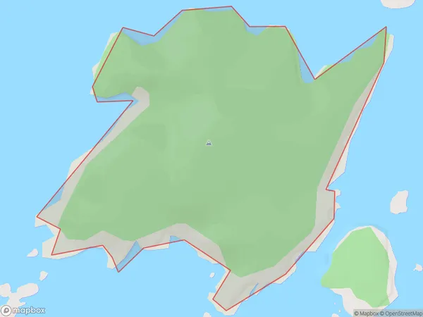
0 people live in Parrot Island, Southland, NZParrot Island Suburb Area Map (Polygon)
Parrot Island Introduction
Parrot Island is a small island in Fiordland National Park, Southland, New Zealand. It is known for its large population of rare and endangered parrots, including the kiwi, which is the country's symbol. The island is also home to a variety of other bird species, including the tui, kea, and bellbird. Visitors can walk around the island and enjoy the stunning views of the surrounding fiords and mountains. The island is accessible by boat from Te Anau or Milford Sound.Region
Suburb Name
Parrot IslandOther Name(s)
Tamatea / Dusky SoundParrot Island Area Map (Street)

Local Authority
Southland DistrictFull Address
Parrot Island, Southland District, New ZealandAddress Type
IslandParrot Island Suburb Map (Satellite)

Country
Main Region in AU
SouthlandParrot Island Region Map

Coordinates
-45.70755145,166.533568901365 (latitude/longitude)Distances
The distance from Parrot Island, , Southland District to NZ Top 10 Cities