Papakohatu Island / Crusoe Island Area, Papakohatu Island / Crusoe Island Postcode & Map in Papakohatu Island / Crusoe Island
Papakohatu Island / Crusoe Island Area, Papakohatu Island / Crusoe Island Postcode & Map in Papakohatu Island / Crusoe Island, Auckland,
Papakohatu Island / Crusoe Island, Auckland,
Papakohatu Island / Crusoe Island Area (estimated)
0.0 square kilometersPapakohatu Island / Crusoe Island Population (estimated)
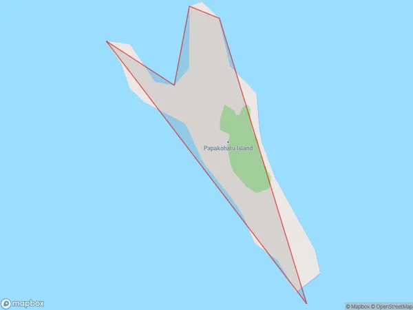
0 people live in Papakohatu Island / Crusoe Island, Brighton, NZPapakohatu Island / Crusoe Island Suburb Area Map (Polygon)
Region
Major City
Suburb Name
Papakohatu Island / Crusoe Island (Maori Name: Papakōhatu Island / Crusoe Island)Other Name(s)
Crusoe Island, Papakohatu Island, Hauraki GulfPapakohatu Island / Crusoe Island Area Map (Street)
Local Authority
AucklandFull Address
Papakohatu Island / Crusoe Island, Auckland,Address Type
IslandPapakohatu Island / Crusoe Island Suburb Map (Satellite)
Country
Main Region in AU
OtagoPapakohatu Island / Crusoe Island Region Map
Coordinates
0,0 (latitude/longitude)Distances
The distance from Papakohatu Island / Crusoe Island, , Auckland to NZ Top 10 Cities