Pakatoa Island Area, Pakatoa Island Postcode(0622) & Map in Pakatoa Island
Pakatoa Island Area, Pakatoa Island Postcode(0622) & Map in Pakatoa Island, Auckland, New Zealand
Pakatoa Island, Auckland, New Zealand
Pakatoa Island Postcodes
Pakatoa Island Area (estimated)
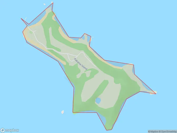
0.4 square kilometersPakatoa Island Population (estimated)
0 people live in Pakatoa Island, Waiheke, NZPakatoa Island Suburb Area Map (Polygon)
Pakatoa Island Introduction
Pakatoa Island is a small, privately owned island in the Hauraki Gulf, located just off the coast of Auckland, New Zealand. It is known for its stunning natural beauty, including white sand beaches, crystal-clear waters, and lush tropical vegetation. The island is a popular destination for day trips, picnics, and outdoor activities such as snorkeling, kayaking, and hiking. It is also home to a variety of wildlife, including birds, sea turtles, and dolphins.Region
Major City
Suburb Name
Pakatoa IslandOther Name(s)
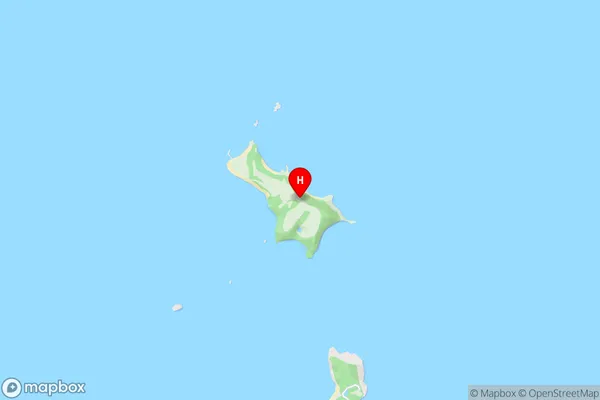
Hauraki GulfPakatoa Island Area Map (Street)
Local Authority
AucklandFull Address
Pakatoa Island, Auckland, New ZealandAddress Type
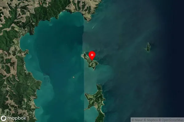
Island in City AucklandPakatoa Island Suburb Map (Satellite)
Country
Main Region in AU
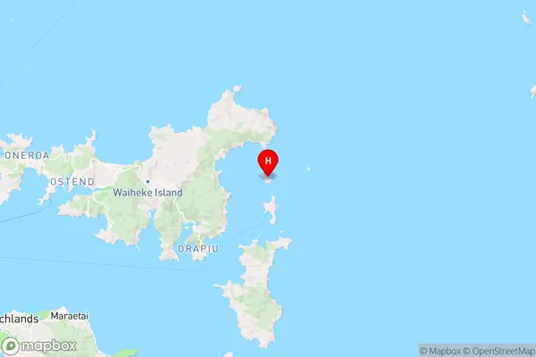
AucklandPakatoa Island Region Map
Coordinates
-36.79612735,175.195279479279 (latitude/longitude)Distances
The distance from Pakatoa Island, Auckland, Auckland to NZ Top 10 Cities