Gropers Bush Area, Gropers Bush Postcode & Map in Gropers Bush
Gropers Bush Area, Gropers Bush Postcode & Map in Gropers Bush, Southland District, New Zealand
Gropers Bush, Southland District, New Zealand
Gropers Bush Area (estimated)
31.2 square kilometersGropers Bush Population (estimated)
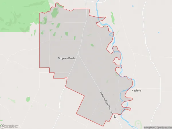
79 people live in Gropers Bush, Southland, NZGropers Bush Suburb Area Map (Polygon)
Gropers Bush Introduction
Gropers Bush is a small forest located in the Riverton/Aparima area of Southland, New Zealand. It is known for its scenic beauty and rich biodiversity, including native birds, plants, and insects. The bush is a popular spot for hiking, picnicking, and nature photography. It is also home to a variety of wildlife, including kea, tui, and kiwi. Gropers Bush is an important conservation area, and efforts are being made to protect and preserve it for future generations.Region
0Suburb Name
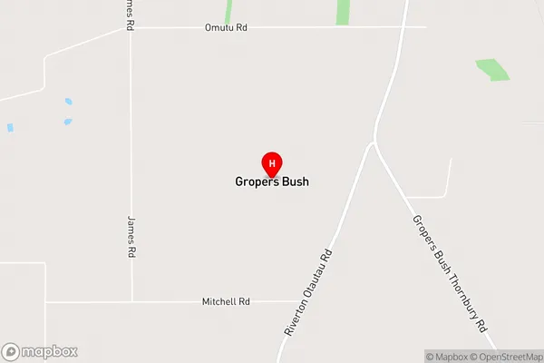
Gropers BushGropers Bush Area Map (Street)
Local Authority
Southland DistrictFull Address
Gropers Bush, Southland District, New ZealandAddress Type
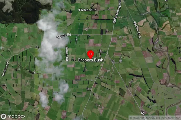
Locality in Town Riverton/AparimaGropers Bush Suburb Map (Satellite)
Country
Main Region in AU
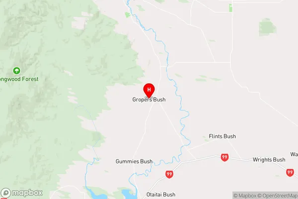
SouthlandGropers Bush Region Map
Coordinates
-46.24165,168.03567 (latitude/longitude)Distances
The distance from Gropers Bush, Riverton/Aparima, Southland District to NZ Top 10 Cities