Pakatahi Island Area, Pakatahi Island Postcode & Map in Pakatahi Island
Pakatahi Island Area, Pakatahi Island Postcode & Map in Pakatahi Island, Far North District, New Zealand
Pakatahi Island, Far North District, New Zealand
Pakatahi Island Area (estimated)
0.0 square kilometersPakatahi Island Population (estimated)
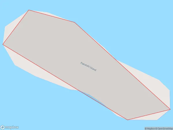
0 people live in Pakatahi Island, Bay of Islands-Whangaroa Community, NZPakatahi Island Suburb Area Map (Polygon)
Pakatahi Island Introduction
Pakatahi Island is a small, uninhabited island located in the Bay of Islands, Northland, New Zealand. It is known for its stunning natural beauty, including crystal-clear waters, pristine beaches, and diverse marine life. The island is a popular destination for snorkeling, diving, and kayaking, and is part of the Bay of Islands Marine Park, which is a UNESCO World Heritage Site.Region
Major City
Suburb Name
Pakatahi IslandOther Name(s)
Te Rawhiti InletPakatahi Island Area Map (Street)

Local Authority
Far North DistrictFull Address
Pakatahi Island, Far North District, New ZealandAddress Type
IslandPakatahi Island Suburb Map (Satellite)

Country
Main Region in AU
NorthlandPakatahi Island Region Map

Coordinates
-35.23109355,174.200049367899 (latitude/longitude)Distances
The distance from Pakatahi Island, , Far North District to NZ Top 10 Cities