Ouokaha Island Area, Ouokaha Island Postcode & Map in Ouokaha Island
Ouokaha Island Area, Ouokaha Island Postcode & Map in Ouokaha Island, Marlborough District, New Zealand
Ouokaha Island, Marlborough District, New Zealand
Ouokaha Island Area (estimated)
0.0 square kilometersOuokaha Island Population (estimated)
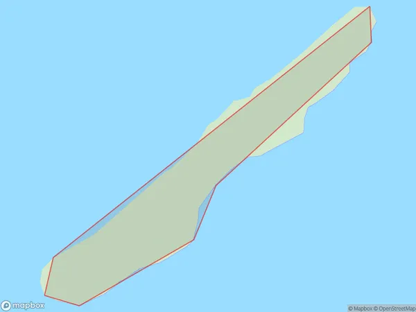
0 people live in Ouokaha Island, Marlborough, NZOuokaha Island Suburb Area Map (Polygon)
Ouokaha Island Introduction
Ouokaha Island is a small, privately owned island in the Marlborough Sounds, New Zealand. It is known for its stunning natural beauty, including lush forests, crystal-clear waters, and stunning beaches. The island has a population of around 50 people and is accessible by boat or helicopter. Visitors can enjoy hiking, fishing, kayaking, and wildlife watching on the island. The island also has a historic stone church and a small community center.Region
0Suburb Name
Ouokaha IslandOther Name(s)
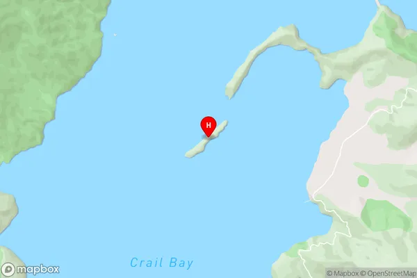
Crail BayOuokaha Island Area Map (Street)
Local Authority
Marlborough DistrictFull Address
Ouokaha Island, Marlborough District, New ZealandAddress Type
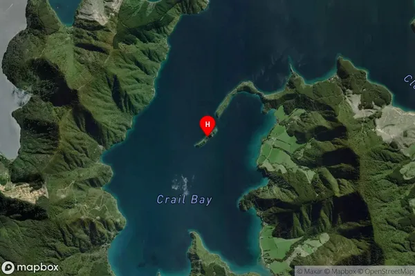
Island in Major Locality Marlborough SoundsOuokaha Island Suburb Map (Satellite)
Country
Main Region in AU
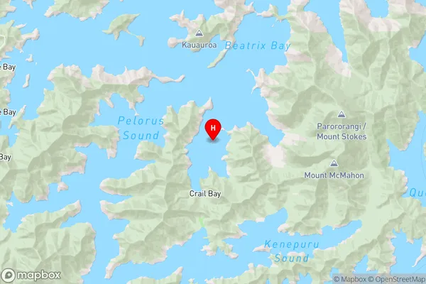
MarlboroughOuokaha Island Region Map
Coordinates
-41.1101597,173.977691075617 (latitude/longitude)Distances
The distance from Ouokaha Island, Marlborough Sounds, Marlborough District to NZ Top 10 Cities