Otuwhanga Island Area, Otuwhanga Island Postcode & Map in Otuwhanga Island
Otuwhanga Island Area, Otuwhanga Island Postcode & Map in Otuwhanga Island, Far North District, New Zealand
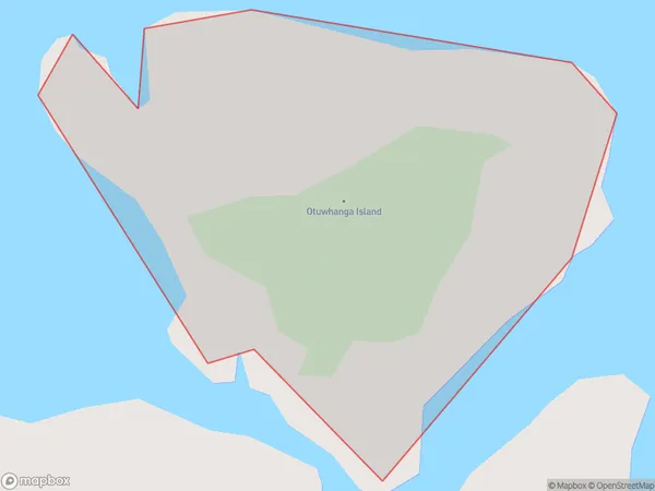
Otuwhanga Island, Far North District, New Zealand
Otuwhanga Island Area (estimated)
0.1 square kilometersOtuwhanga Island Population (estimated)
0 people live in Otuwhanga Island, Bay of Islands-Whangaroa Community, NZOtuwhanga Island Suburb Area Map (Polygon)
Otuwhanga Island Introduction
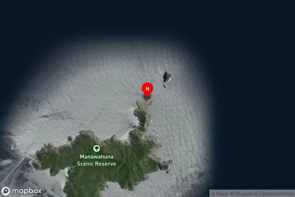
Otuwhanga Island is a small, uninhabited island located in the Bay of Islands, Northland, New Zealand. It is known for its stunning natural beauty, including rugged cliffs, crystal-clear waters, and diverse marine life. The island is a popular destination for hiking, snorkeling, and kayaking, and is part of the Bay of Islands Marine Park.Region
Major City
Suburb Name
Otuwhanga IslandOtuwhanga Island Area Map (Street)

Local Authority
Far North DistrictFull Address
Otuwhanga Island, Far North District, New ZealandAddress Type
IslandOtuwhanga Island Suburb Map (Satellite)
Country
Main Region in AU
NorthlandOtuwhanga Island Region Map

Coordinates
-35.1711051,174.332847372167 (latitude/longitude)Distances
The distance from Otuwhanga Island, , Far North District to NZ Top 10 Cities