Otumutu Area, Otumutu Postcode(3010) & Map in Otumutu
Otumutu Area, Otumutu Postcode(3010) & Map in Otumutu, Rotorua District, New Zealand
Otumutu, Rotorua District, New Zealand
Otumutu Postcodes
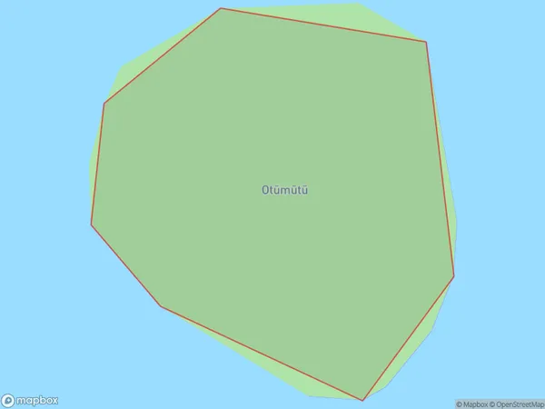
Otumutu Area (estimated)
0.0 square kilometersOtumutu Population (estimated)
0 people live in Otumutu, Bay of Plenty, NZOtumutu Suburb Area Map (Polygon)
Otumutu Introduction
Otumutu is a small rural community in the Bay of Plenty, New Zealand. It is known for its beautiful beaches, lush green forests, and stunning mountain views. The community has a strong Maori culture and is home to a number of historic sites, including a traditional Maori meeting house and a stone fort. Otumutu is also a popular destination for outdoor enthusiasts, with a range of activities such as hiking, fishing, and kayaking available.Region
Suburb Name
Otumutu (Maori Name: Otūmūtū)Other Name(s)
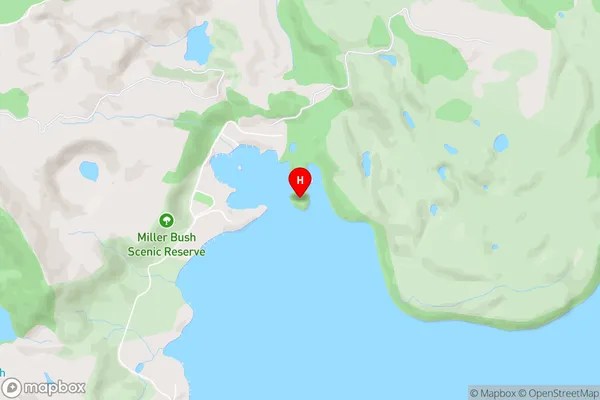
Otumutu IslandOtumutu Area Map (Street)
Local Authority
Rotorua DistrictFull Address
Otumutu, Rotorua District, New ZealandAddress Type
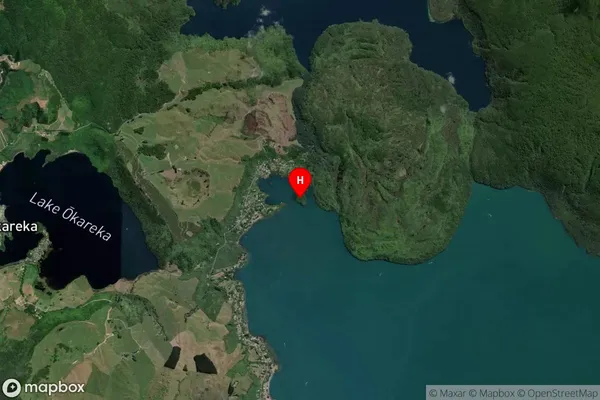
IslandOtumutu Suburb Map (Satellite)
Country
Main Region in AU
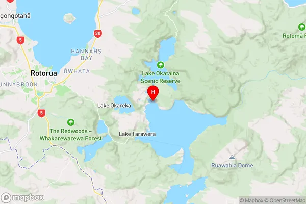
Bay of PlentyOtumutu Region Map
Coordinates
-38.1685416,176.400174850257 (latitude/longitude)Distances
The distance from Otumutu, , Rotorua District to NZ Top 10 Cities