Greytown Area, Greytown Postcode(5712) & Map in Greytown
Greytown Area, Greytown Postcode(5712) & Map in Greytown, South Wairarapa District, New Zealand
Greytown, South Wairarapa District, New Zealand
Greytown Area (estimated)
12.2 square kilometersGreytown Population (estimated)
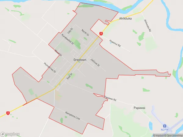
2838 people live in Greytown, Greytown Community, NZGreytown Suburb Area Map (Polygon)
Greytown Introduction
Greytown is a small town located in the Wairarapa region of New Zealand's North Island. It is known for its historic architecture, including the Greytown Hotel, which was built in 1855. The town has a population of around 2,000 people and is surrounded by beautiful countryside, including vineyards and forests. Greytown is also home to a variety of cultural and recreational facilities, including a museum, a library, and a sports complex.Region
Major City
Suburb Name
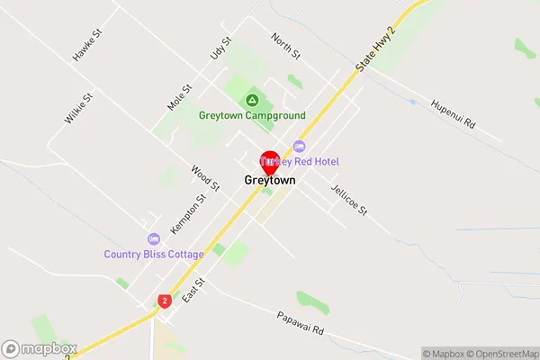
GreytownGreytown Area Map (Street)
Local Authority
South Wairarapa DistrictFull Address
Greytown, South Wairarapa District, New ZealandAddress Type
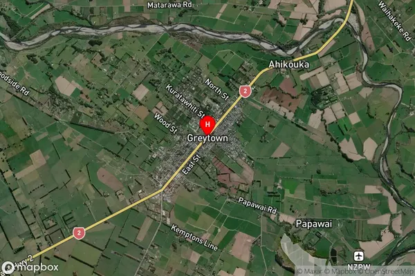
Suburb in Town GreytownGreytown Suburb Map (Satellite)
Country
Main Region in AU
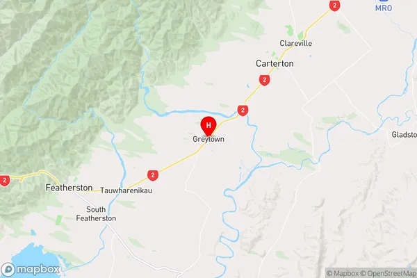
WellingtonGreytown Region Map
Coordinates
-41.0806338,175.460547 (latitude/longitude)Distances
The distance from Greytown, Greytown, South Wairarapa District to NZ Top 10 Cities