Otuhaereroa Island Area, Otuhaereroa Island Postcode & Map in Otuhaereroa Island
Otuhaereroa Island Area, Otuhaereroa Island Postcode & Map in Otuhaereroa Island, Marlborough District, New Zealand
Otuhaereroa Island, Marlborough District, New Zealand
Otuhaereroa Island Area (estimated)
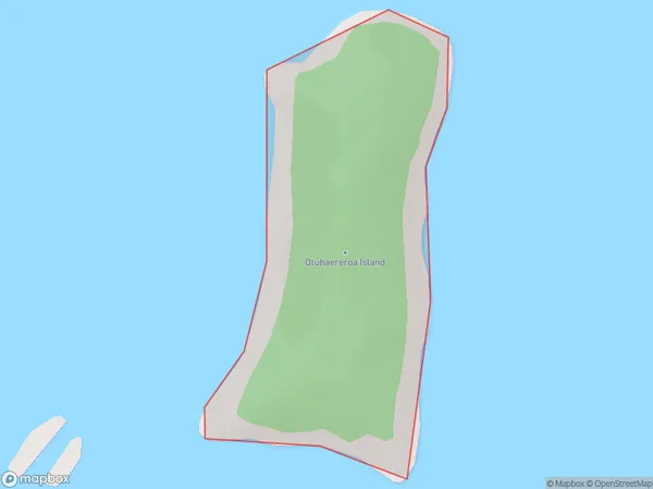
0.3 square kilometersOtuhaereroa Island Population (estimated)
0 people live in Otuhaereroa Island, Marlborough, NZOtuhaereroa Island Suburb Area Map (Polygon)
Otuhaereroa Island Introduction
Otuhaereroa Island is a small, uninhabited island located in the Marlborough Sounds of New Zealand. It is part of the Renwick Island Group and is known for its stunning natural beauty, including lush forests, crystal-clear waters, and diverse wildlife. The island is accessible by boat and offers a peaceful and secluded escape from the busy world. Visitors can explore the island's walking trails, swim in the crystal-clear waters, and observe the resident birds and marine life.Region
0Suburb Name
Otuhaereroa IslandOther Name(s)
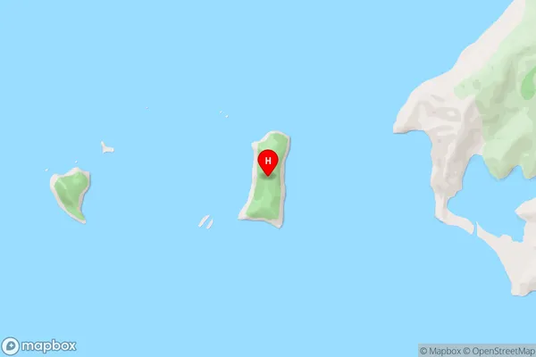
Croisilles HarbourOtuhaereroa Island Area Map (Street)
Local Authority
Marlborough DistrictFull Address
Otuhaereroa Island, Marlborough District, New ZealandAddress Type
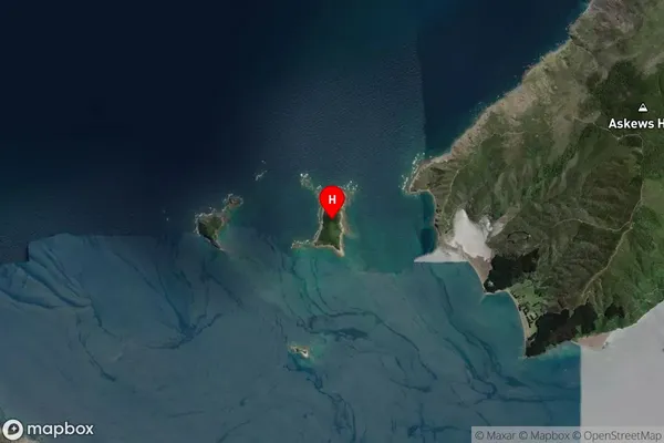
Island in Major Locality Marlborough SoundsOtuhaereroa Island Suburb Map (Satellite)
Country
Main Region in AU
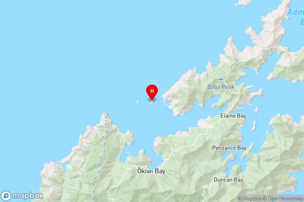
MarlboroughOtuhaereroa Island Region Map
Coordinates
-41.04029715,173.659247081215 (latitude/longitude)Distances
The distance from Otuhaereroa Island, Marlborough Sounds, Marlborough District to NZ Top 10 Cities