Otawhanga Island Area, Otawhanga Island Postcode & Map in Otawhanga Island
Otawhanga Island Area, Otawhanga Island Postcode & Map in Otawhanga Island, Whangarei District, New Zealand
Otawhanga Island, Whangarei District, New Zealand
Otawhanga Island Area (estimated)
0.0 square kilometersOtawhanga Island Population (estimated)
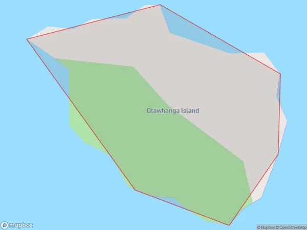
0 people live in Otawhanga Island, Northland, NZOtawhanga Island Suburb Area Map (Polygon)
Otawhanga Island Introduction
Otawhanga Island is located in the Bay of Islands, Northland, New Zealand. It is a popular tourist destination known for its sandy beaches, crystal-clear waters, and stunning marine biodiversity. The island is home to a variety of bird species, including the rare North Island brown kiwi. Visitors can explore the island's historic ruins, including a former pa site and a stone fort built by early European settlers. The island also offers a range of outdoor activities, such as hiking, kayaking, and snorkeling.Region
Suburb Name
Otawhanga IslandOtawhanga Island Area Map (Street)

Local Authority
Whangarei DistrictFull Address
Otawhanga Island, Whangarei District, New ZealandAddress Type
IslandOtawhanga Island Suburb Map (Satellite)

Country
Main Region in AU
NorthlandOtawhanga Island Region Map

Coordinates
-35.4359024,174.445130307396 (latitude/longitude)Distances
The distance from Otawhanga Island, , Whangarei District to NZ Top 10 Cities