Otata Island Area, Otata Island Postcode(0622) & Map in Otata Island
Otata Island Area, Otata Island Postcode(0622) & Map in Otata Island, Auckland, New Zealand
Otata Island, Auckland, New Zealand
Otata Island Postcodes
Otata Island Area (estimated)
0.2 square kilometersOtata Island Population (estimated)
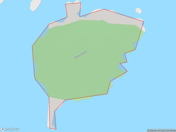
0 people live in Otata Island, Waiheke, NZOtata Island Suburb Area Map (Polygon)
Otata Island Introduction
Otata Island is a small, uninhabited island in the Hauraki Gulf, located off the coast of Auckland, New Zealand. It is known for its scenic beauty, including rugged cliffs, sandy beaches, and native bird species. The island is part of the Waitemata Harbour and is accessible by boat or kayak. It has been designated as a wildlife reserve and is a popular spot for outdoor activities such as hiking, fishing, and birdwatching.Region
Major City
Suburb Name
Otata IslandOther Name(s)
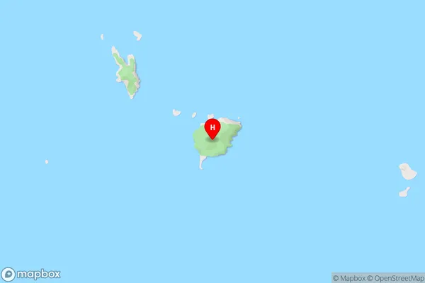
The Noises, Hauraki GulfOtata Island Area Map (Street)
Local Authority
AucklandFull Address
Otata Island, Auckland, New ZealandAddress Type
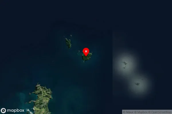
IslandOtata Island Suburb Map (Satellite)
Country
Main Region in AU
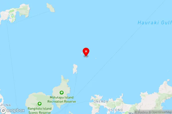
AucklandOtata Island Region Map
Coordinates
-36.6958608,174.974407979566 (latitude/longitude)Distances
The distance from Otata Island, , Auckland to NZ Top 10 Cities