Otarawhata Island Area, Otarawhata Island Postcode & Map in Otarawhata Island
Otarawhata Island Area, Otarawhata Island Postcode & Map in Otarawhata Island, Area outside Territorial Authority, New Zealand
Otarawhata Island, Area outside Territorial Authority, New Zealand
Otarawhata Island Area (estimated)
0.0 square kilometersOtarawhata Island Population (estimated)
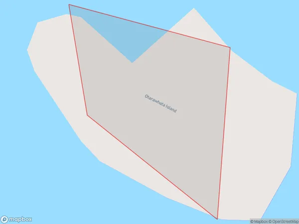
0 people live in Otarawhata Island, Bay of Plenty, NZOtarawhata Island Suburb Area Map (Polygon)
Otarawhata Island Introduction
Otarawhata Island is located in the Bay of Plenty, New Zealand. It is a small, uninhabited island with a rich history and stunning natural features. The island is known for its beautiful beaches, lush forests, and unique wildlife, including rare bird species and protected species of reptiles. Visitors can access the island by boat or helicopter and enjoy hiking, camping, and fishing.Region
Suburb Name
Otarawhata IslandOtarawhata Island Area Map (Street)

Local Authority
Area outside Territorial AuthorityFull Address
Otarawhata Island, Area outside Territorial Authority, New ZealandAddress Type
IslandOtarawhata Island Suburb Map (Satellite)

Country
Main Region in AU
Bay of PlentyOtarawhata Island Region Map

Coordinates
-37.533087,177.983242373415 (latitude/longitude)Distances
The distance from Otarawhata Island, , Area outside Territorial Authority to NZ Top 10 Cities