Oruatemanu Island Area, Oruatemanu Island Postcode & Map in Oruatemanu Island
Oruatemanu Island Area, Oruatemanu Island Postcode & Map in Oruatemanu Island, Far North District, New Zealand
Oruatemanu Island, Far North District, New Zealand
Oruatemanu Island Area (estimated)
0.0 square kilometersOruatemanu Island Population (estimated)
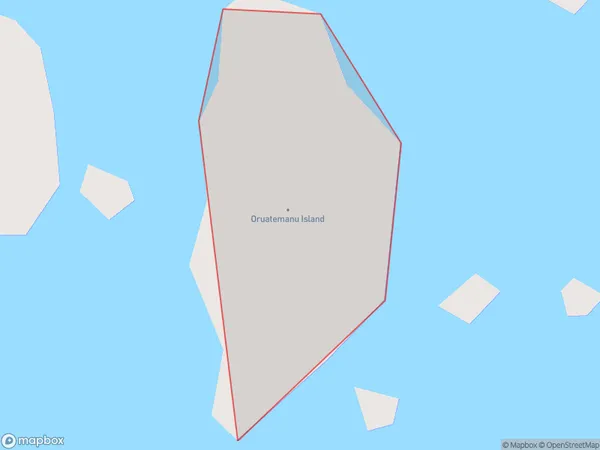
0 people live in Oruatemanu Island, Northland, NZOruatemanu Island Suburb Area Map (Polygon)
Oruatemanu Island Introduction
Oruatemanu Island is located in the Bay of Islands, Northland, New Zealand. It is a small, uninhabited island with a rich history and stunning natural beauty. The island is known for its stunning beaches, crystal-clear waters, and diverse marine life, including whales, dolphins, and seals. Visitors can explore the island by hiking, snorkeling, or kayaking, and there are also several historic sites on the island, including a former whaling station and a Maori pa site.Region
Suburb Name
Oruatemanu IslandOther Name(s)
Whangaroa BayOruatemanu Island Area Map (Street)

Local Authority
Far North DistrictFull Address
Oruatemanu Island, Far North District, New ZealandAddress Type
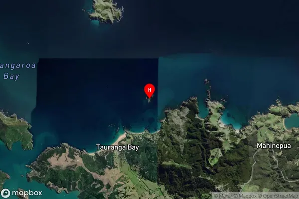
IslandOruatemanu Island Suburb Map (Satellite)
Country
Main Region in AU
NorthlandOruatemanu Island Region Map

Coordinates
-34.99242185,173.797788316707 (latitude/longitude)Distances
The distance from Oruatemanu Island, , Far North District to NZ Top 10 Cities