Opakau Island Area, Opakau Island Postcode(0622) & Map in Opakau Island
Opakau Island Area, Opakau Island Postcode(0622) & Map in Opakau Island, Auckland, New Zealand
Opakau Island, Auckland, New Zealand
Opakau Island Postcodes
Opakau Island Area (estimated)
0.0 square kilometersOpakau Island Population (estimated)
0 people live in Opakau Island, Aotea Great Barrier, NZOpakau Island Suburb Area Map (Polygon)
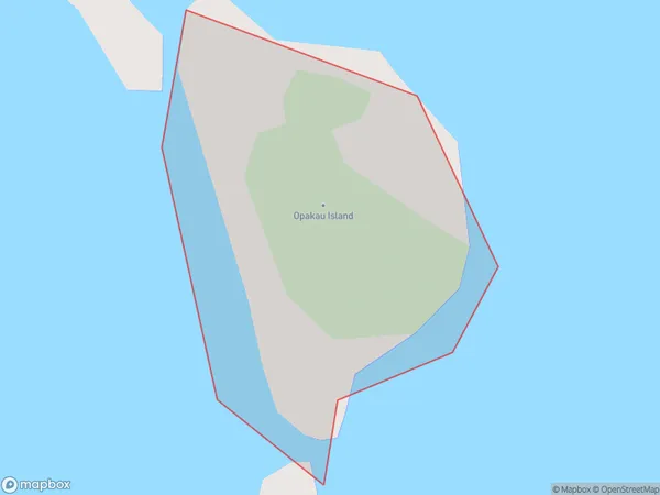
Opakau Island Introduction
Opakau Island is a small, forested island in the Hauraki Gulf, located just off the coast of Auckland, New Zealand. It is a popular destination for day trips and outdoor activities, with a range of walking tracks, picnic spots, and campgrounds. The island is known for its beautiful natural scenery, including native trees, birds, and marine life. It is also home to a small community of people who live in traditional Maori houses.Region
Major City
Suburb Name
Opakau IslandOther Name(s)
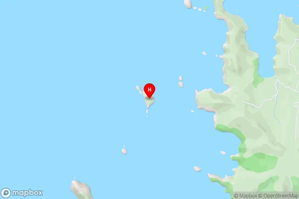
Hauraki GulfOpakau Island Area Map (Street)
Local Authority
AucklandFull Address
Opakau Island, Auckland, New ZealandAddress Type
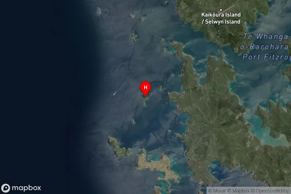
IslandOpakau Island Suburb Map (Satellite)
Country
Main Region in AU
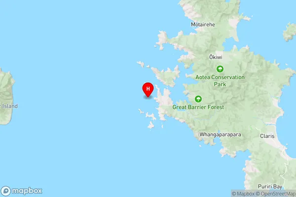
AucklandOpakau Island Region Map
Coordinates
-36.20181585,175.298562902476 (latitude/longitude)Distances
The distance from Opakau Island, , Auckland to NZ Top 10 Cities