Opahekeheke Island Area, Opahekeheke Island Postcode(1148) & Map in Opahekeheke Island
Opahekeheke Island Area, Opahekeheke Island Postcode(1148) & Map in Opahekeheke Island, Auckland, New Zealand
Opahekeheke Island, Auckland, New Zealand
Opahekeheke Island Postcodes
Opahekeheke Island Area (estimated)
0.2 square kilometersOpahekeheke Island Population (estimated)
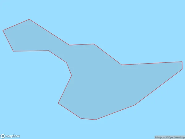
0 people live in Opahekeheke Island, Rodney, NZOpahekeheke Island Suburb Area Map (Polygon)
Opahekeheke Island Introduction
Opahekeheke Island is a small, forested island in the Hauraki Gulf, located in Auckland, New Zealand. It is known for its rich biodiversity, including native birds, reptiles, and plants. The island has a peaceful atmosphere and is popular with walkers, birdwatchers, and nature enthusiasts. It is also home to a historic pa site and a small community of residents.Region
Major City
Suburb Name
Opahekeheke IslandOther Name(s)
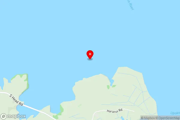
Kawau Parua InletOpahekeheke Island Area Map (Street)
Local Authority
AucklandFull Address
Opahekeheke Island, Auckland, New ZealandAddress Type
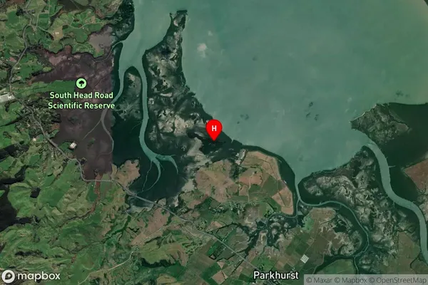
IslandOpahekeheke Island Suburb Map (Satellite)
Country
Main Region in AU
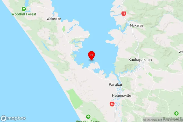
AucklandOpahekeheke Island Region Map
Coordinates
-36.6176882,174.382946940849 (latitude/longitude)Distances
The distance from Opahekeheke Island, , Auckland to NZ Top 10 Cities