Only Islands Area, Only Islands Postcode & Map in Only Islands
Only Islands Area, Only Islands Postcode & Map in Only Islands, Southland District, New Zealand
Only Islands, Southland District, New Zealand
Only Islands Area (estimated)
0.2 square kilometersOnly Islands Population (estimated)
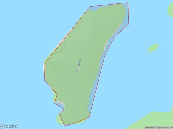
0 people live in Only Islands, Southland, NZOnly Islands Suburb Area Map (Polygon)
Only Islands Introduction
Only Islands is a small, uninhabited island in Fiordland National Park, Southland, New Zealand. It is part of the Dusky Sound group and is surrounded by stunning mountain scenery. The island is accessible by a short boat ride from the nearby town of Milford Sound. It is a popular destination for hiking, camping, and wildlife viewing, with a variety of species of birds and marine mammals including seals, dolphins, and penguins.Region
Suburb Name
Only IslandsOther Name(s)
Long SoundOnly Islands Area Map (Street)

Local Authority
Southland DistrictFull Address
Only Islands, Southland District, New ZealandAddress Type
IslandOnly Islands Suburb Map (Satellite)

Country
Main Region in AU
SouthlandOnly Islands Region Map

Coordinates
-45.9607003,166.871405208297 (latitude/longitude)Distances
The distance from Only Islands, , Southland District to NZ Top 10 Cities