Omaui Island Area, Omaui Island Postcode & Map in Omaui Island
Omaui Island Area, Omaui Island Postcode & Map in Omaui Island, Invercargill City, New Zealand
Omaui Island, Invercargill City, New Zealand
Omaui Island Area (estimated)
0.0 square kilometersOmaui Island Population (estimated)
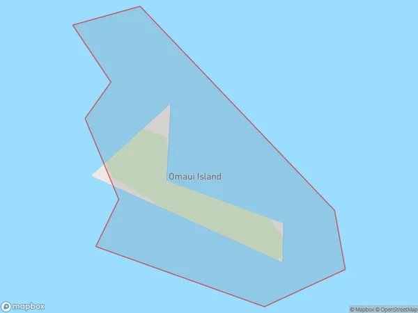
0 people live in Omaui Island, Southland, NZOmaui Island Suburb Area Map (Polygon)
Omaui Island Introduction
Omaui Island is located in Fiordland National Park in Southland, New Zealand. It is a small, uninhabited island with stunning natural features, including waterfalls, forests, and a picturesque beach. The island is accessible by boat or a scenic walk from the nearby town of Milford Sound.Region
Suburb Name
Omaui Island (Maori Name: Ōmāui Island)Omaui Island Area Map (Street)

Local Authority
Invercargill CityFull Address
Omaui Island, Invercargill City, New ZealandAddress Type
IslandOmaui Island Suburb Map (Satellite)

Country
Main Region in AU
SouthlandOmaui Island Region Map

Coordinates
-46.5148638,168.219716787058 (latitude/longitude)Distances
The distance from Omaui Island, , Invercargill City to NZ Top 10 Cities