Omaia Island Area, Omaia Island Postcode & Map in Omaia Island
Omaia Island Area, Omaia Island Postcode & Map in Omaia Island, Far North District, New Zealand
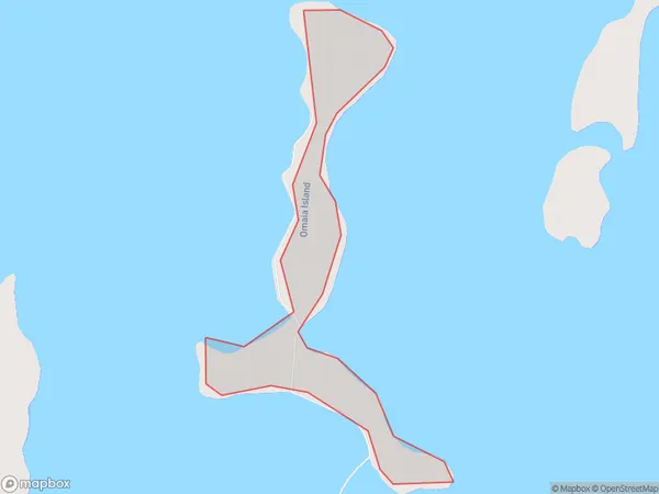
Omaia Island, Far North District, New Zealand
Omaia Island Area (estimated)
0.5 square kilometersOmaia Island Population (estimated)
0 people live in Omaia Island, Te Hiku Community, NZOmaia Island Suburb Area Map (Polygon)
Omaia Island Introduction
Omaia Island is a privately owned island in the Bay of Islands, Northland, New Zealand. It is known for its stunning natural beauty, including crystal-clear waters, lush forests, and breathtaking sunsets. The island has a variety of accommodations, including luxury villas and eco-friendly lodges, and is popular with tourists seeking a peaceful and relaxing getaway.Region
Major City
Suburb Name
Omaia IslandOther Name(s)
Okatakata Islands, Rangaunu HarbourOmaia Island Area Map (Street)

Local Authority
Far North DistrictFull Address
Omaia Island, Far North District, New ZealandAddress Type
IslandOmaia Island Suburb Map (Satellite)

Country
Main Region in AU
NorthlandOmaia Island Region Map

Coordinates
-34.9925545,173.263447050792 (latitude/longitude)Distances
The distance from Omaia Island, , Far North District to NZ Top 10 Cities