Old Man Rock Area, Old Man Rock Postcode & Map in Old Man Rock
Old Man Rock Area, Old Man Rock Postcode & Map in Old Man Rock, Area outside Territorial Authority, New Zealand
Old Man Rock, Area outside Territorial Authority, New Zealand
Old Man Rock Area (estimated)
0.0 square kilometersOld Man Rock Population (estimated)
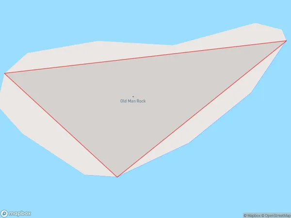
0 people live in Old Man Rock, Waikato, NZOld Man Rock Suburb Area Map (Polygon)
Old Man Rock Introduction
Old Man Rock is a prominent landmark in the Waikato region of New Zealand, known for its distinctive shape and stunning natural surroundings. It is a popular destination for hiking, picnicking, and nature photography, with panoramic views of the surrounding countryside and the Waikato River. The rock formation is believed to have formed over millions of years through volcanic activity and erosion, and it stands as a testament to the powerful forces of nature that have shaped the region.Region
Suburb Name
Old Man RockOld Man Rock Area Map (Street)

Local Authority
Area outside Territorial AuthorityFull Address
Old Man Rock, Area outside Territorial Authority, New ZealandAddress Type
IslandOld Man Rock Suburb Map (Satellite)

Country
Main Region in AU
WaikatoOld Man Rock Region Map

Coordinates
-36.71001095,175.846480601716 (latitude/longitude)Distances
The distance from Old Man Rock, , Area outside Territorial Authority to NZ Top 10 Cities