Okorotere Island Area, Okorotere Island Postcode(3500) & Map in Okorotere Island
Okorotere Island Area, Okorotere Island Postcode(3500) & Map in Okorotere Island, Thames-Coromandel District, New Zealand
Okorotere Island, Thames-Coromandel District, New Zealand
Okorotere Island Postcodes
Okorotere Island Area (estimated)
0.0 square kilometersOkorotere Island Population (estimated)
0 people live in Okorotere Island, Waikato, NZOkorotere Island Suburb Area Map (Polygon)
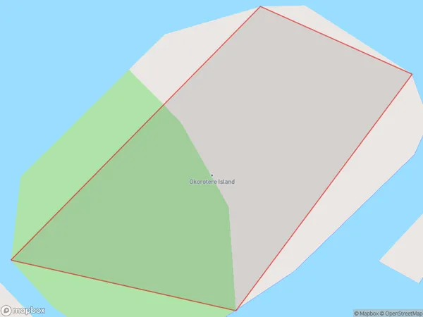
Okorotere Island Introduction
Waikato's Okorotere Island is a peaceful haven with beautiful beaches, native forests, and a rich cultural heritage. It is a popular destination for outdoor activities such as hiking, kayaking, and birdwatching. The island also has a historic lighthouse and a charming village with a variety of restaurants and accommodations. Visitors can explore the island's many walking trails, visit the local museum, or simply relax on the beach and enjoy the stunning natural surroundings.Region
Suburb Name
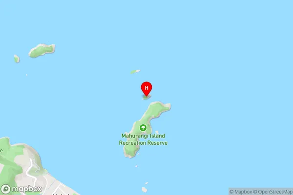
Okorotere IslandOkorotere Island Area Map (Street)
Local Authority
Thames-Coromandel DistrictFull Address
Okorotere Island, Thames-Coromandel District, New ZealandAddress Type
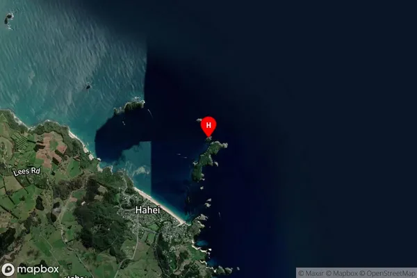
IslandOkorotere Island Suburb Map (Satellite)
Country
Main Region in AU
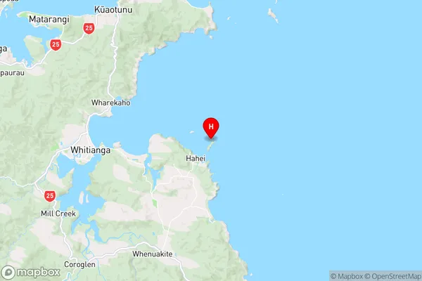
WaikatoOkorotere Island Region Map
Coordinates
-36.82578665,175.820062381846 (latitude/longitude)Distances
The distance from Okorotere Island, , Thames-Coromandel District to NZ Top 10 Cities