Oke Island Area, Oke Island Postcode & Map in Oke Island
Oke Island Area, Oke Island Postcode & Map in Oke Island, Southland District, New Zealand
Oke Island, Southland District, New Zealand
Oke Island Area (estimated)
0.4 square kilometersOke Island Population (estimated)
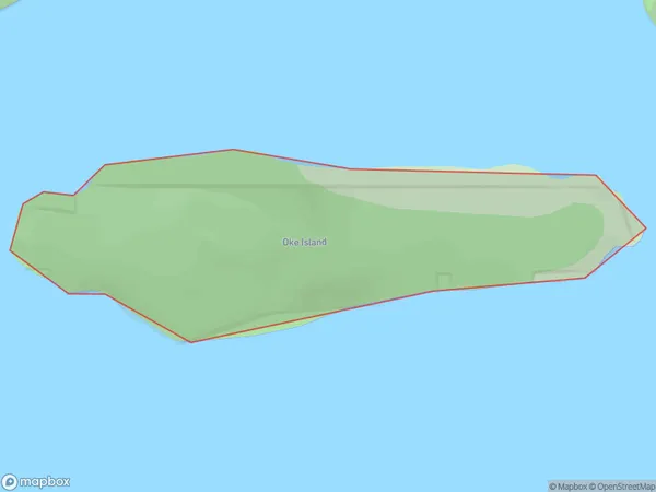
0 people live in Oke Island, Southland, NZOke Island Suburb Area Map (Polygon)
Oke Island Introduction
Oke Island is a small island in Fiordland, Southland, New Zealand. It is part of the Fiordland National Park and is known for its scenic beauty, including waterfalls, forests, and a seal colony. The island can be accessed by a scenic ferry ride from Milford Sound or by a walking track from the nearby town of Te Anau.Region
Suburb Name
Oke IslandOther Name(s)
Wet Jacket ArmOke Island Area Map (Street)

Local Authority
Southland DistrictFull Address
Oke Island, Southland District, New ZealandAddress Type
IslandOke Island Suburb Map (Satellite)

Country
Main Region in AU
SouthlandOke Island Region Map

Coordinates
-45.6372698,166.853848669759 (latitude/longitude)Distances
The distance from Oke Island, , Southland District to NZ Top 10 Cities