Ohinauiti Island Area, Ohinauiti Island Postcode(3500) & Map in Ohinauiti Island
Ohinauiti Island Area, Ohinauiti Island Postcode(3500) & Map in Ohinauiti Island, Thames-Coromandel District, New Zealand
Ohinauiti Island, Thames-Coromandel District, New Zealand
Ohinauiti Island Postcodes
Ohinauiti Island Area (estimated)
0.1 square kilometersOhinauiti Island Population (estimated)
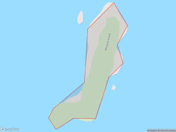
0 people live in Ohinauiti Island, Waikato, NZOhinauiti Island Suburb Area Map (Polygon)
Ohinauiti Island Introduction
Waikato's Ohinauiti Island is a tiny, uninhabited island. It is well-known for its stunning beaches, crystal-clear waters, and diverse marine life. The island is a popular destination for boat trips, snorkeling, and camping, and is part of the Ohinau Island Marine Reserve. Visitors can also explore the island's historic ruins, including a fort built by the British in the 18th century.Region
Suburb Name
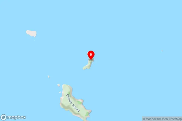
Ohinauiti IslandOhinauiti Island Area Map (Street)
Local Authority
Thames-Coromandel DistrictFull Address
Ohinauiti Island, Thames-Coromandel District, New ZealandAddress Type
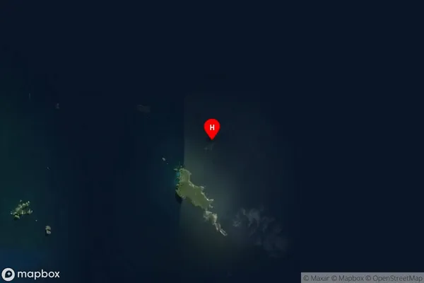
IslandOhinauiti Island Suburb Map (Satellite)
Country
Main Region in AU
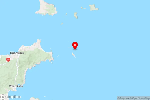
WaikatoOhinauiti Island Region Map
Coordinates
-36.71677125,175.884277589202 (latitude/longitude)Distances
The distance from Ohinauiti Island, , Thames-Coromandel District to NZ Top 10 Cities