Ohinau Island Area, Ohinau Island Postcode(3500) & Map in Ohinau Island
Ohinau Island Area, Ohinau Island Postcode(3500) & Map in Ohinau Island, Thames-Coromandel District, New Zealand
Ohinau Island, Thames-Coromandel District, New Zealand
Ohinau Island Postcodes
Ohinau Island Area (estimated)
0.5 square kilometersOhinau Island Population (estimated)
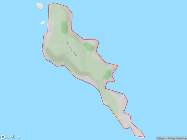
0 people live in Ohinau Island, Waikato, NZOhinau Island Suburb Area Map (Polygon)
Ohinau Island Introduction
Waikato, New Zealand's North Island, is home to Ohinau Island. It is a tiny island with a length of 1.5 miles and a width of 0.5 miles. It is a well-liked location for outdoor pursuits like hiking, camping, and fishing because of its stunning scenery and tranquil environment. The island is also home to a sizable population of rare and endangered birds, including the kiwi bird.Region
Suburb Name
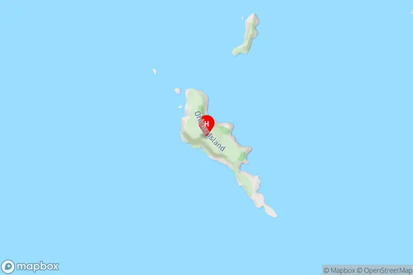
Ohinau IslandOhinau Island Area Map (Street)
Local Authority
Thames-Coromandel DistrictFull Address
Ohinau Island, Thames-Coromandel District, New ZealandAddress Type
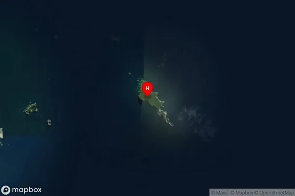
IslandOhinau Island Suburb Map (Satellite)
Country
Main Region in AU
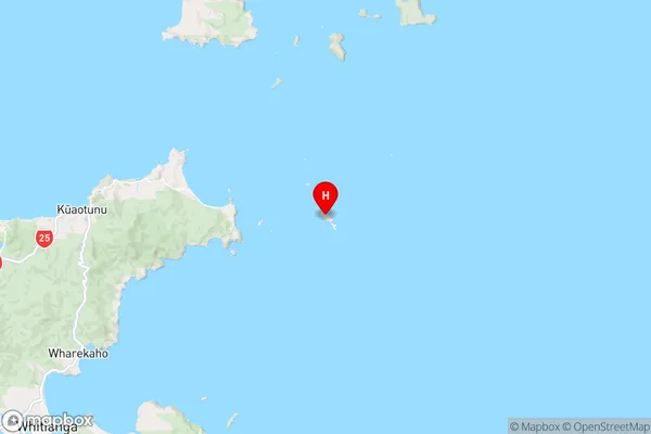
WaikatoOhinau Island Region Map
Coordinates
-36.7270656,175.8787526 (latitude/longitude)Distances
The distance from Ohinau Island, , Thames-Coromandel District to NZ Top 10 Cities