Ohauroro Island Area, Ohauroro Island Postcode & Map in Ohauroro Island
Ohauroro Island Area, Ohauroro Island Postcode & Map in Ohauroro Island, Far North District,
Ohauroro Island, Far North District,
Ohauroro Island Area (estimated)
0.1 square kilometersOhauroro Island Population (estimated)
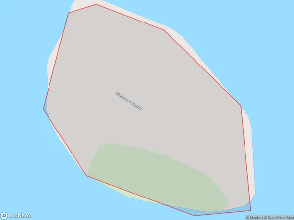
0 people live in Ohauroro Island, Brighton, NZOhauroro Island Suburb Area Map (Polygon)
Ohauroro Island Introduction
Ohauroro Island is a small island in Otago, New Zealand, located in the southern South Island. It is a popular destination for outdoor activities such as hiking, skiing, and fishing, and is home to a variety of wildlife, including seals, penguins, and albatrosses. The island has a rich history and was once home to a Māori settlement.Region
Major City
Suburb Name
Ohauroro IslandOther Name(s)
Peach Island, Whangaroa HarbourOhauroro Island Area Map (Street)
Local Authority
Far North DistrictFull Address
Ohauroro Island, Far North District,Address Type
IslandOhauroro Island Suburb Map (Satellite)
Country
Main Region in AU
OtagoOhauroro Island Region Map
Coordinates
0,0 (latitude/longitude)Distances
The distance from Ohauroro Island, , Far North District to NZ Top 10 Cities