Ohakana Island Area, Ohakana Island Postcode(3120) & Map in Ohakana Island
Ohakana Island Area, Ohakana Island Postcode(3120) & Map in Ohakana Island, Whakatane District, New Zealand
Ohakana Island, Whakatane District, New Zealand
Ohakana Island Postcodes
Ohakana Island Area (estimated)
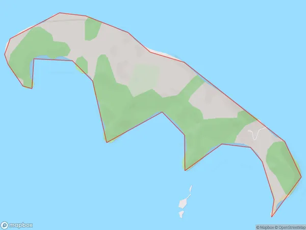
0.6 square kilometersOhakana Island Population (estimated)
20 people live in Ohakana Island, Bay of Plenty, NZOhakana Island Suburb Area Map (Polygon)
Ohakana Island Introduction
Ohakana Island is a small, privately owned island in the Bay of Plenty, New Zealand. It is a popular destination for day trips and overnight stays due to its stunning natural beauty, including crystal-clear waters, white sand beaches, and lush tropical forests. The island has a range of accommodation options, including camping, holiday homes, and a luxury lodge. Visitors can enjoy activities such as snorkeling, hiking, fishing, and kayaking, as well as exploring the ancient ruins of a Maori village. Ohakana Island is also home to a variety of wildlife, including sea birds, dolphins, and whales.Region
Major City
Suburb Name
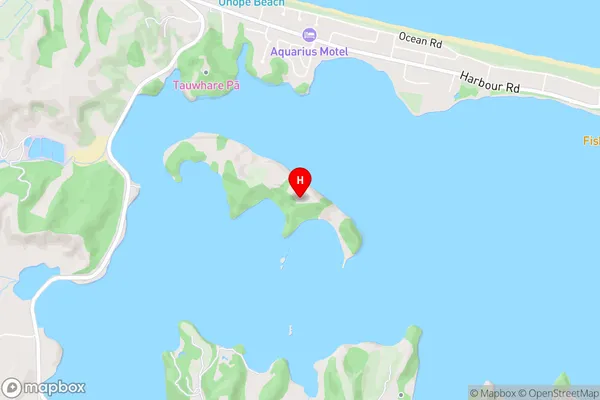
Ohakana IslandOhakana Island Area Map (Street)
Local Authority
Whakatane DistrictFull Address
Ohakana Island, Whakatane District, New ZealandAddress Type
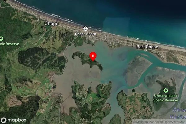
Island in Town WhakataneOhakana Island Suburb Map (Satellite)
Country
Main Region in AU
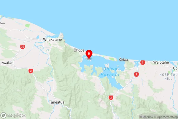
Bay of PlentyOhakana Island Region Map
Coordinates
-37.98850245,177.079316732414 (latitude/longitude)Distances
The distance from Ohakana Island, Whakatane, Whakatane District to NZ Top 10 Cities