Oaia Island Area, Oaia Island Postcode(1148) & Map in Oaia Island
Oaia Island Area, Oaia Island Postcode(1148) & Map in Oaia Island, Auckland, New Zealand
Oaia Island, Auckland, New Zealand
Oaia Island Postcodes
Oaia Island Area (estimated)
0.0 square kilometersOaia Island Population (estimated)
0 people live in Oaia Island, Rodney, NZOaia Island Suburb Area Map (Polygon)
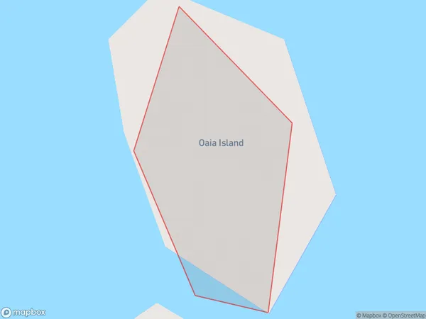
Oaia Island Introduction
Oaia Island is a privately owned island in the Hauraki Gulf, located in Auckland, New Zealand. It is known for its stunning natural beauty, including lush forests, crystal-clear waters, and breathtaking beaches. The island has a variety of accommodation options, including luxury villas and apartments, and is popular for weddings, corporate events, and private retreats. Visitors can enjoy activities such as hiking, snorkeling, kayaking, and fishing, or simply relax and enjoy the peaceful surroundings.Region
Major City
Suburb Name
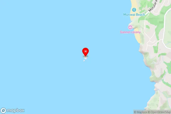
Oaia IslandOaia Island Area Map (Street)
Local Authority
AucklandFull Address
Oaia Island, Auckland, New ZealandAddress Type
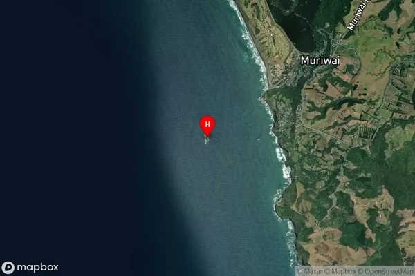
IslandOaia Island Suburb Map (Satellite)
Country
Main Region in AU
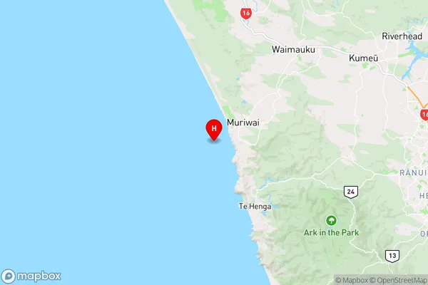
AucklandOaia Island Region Map
Coordinates
-36.84045385,174.410794153742 (latitude/longitude)Distances
The distance from Oaia Island, , Auckland to NZ Top 10 Cities