Nukuwaiata Island Area, Nukuwaiata Island Postcode & Map in Nukuwaiata Island
Nukuwaiata Island Area, Nukuwaiata Island Postcode & Map in Nukuwaiata Island, Marlborough District, New Zealand
Nukuwaiata Island, Marlborough District, New Zealand
Nukuwaiata Island Area (estimated)
2.2 square kilometersNukuwaiata Island Population (estimated)
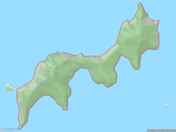
0 people live in Nukuwaiata Island, Marlborough, NZNukuwaiata Island Suburb Area Map (Polygon)
Nukuwaiata Island Introduction
Nukuwaiata Island is located in the Marlborough Sounds of New Zealand. It is a small, uninhabited island with a beautiful beach and stunning natural surroundings. The island is part of the Marlborough Sounds Marine Reserve and is a popular spot for kayaking, sailing, and fishing. Visitors can also enjoy hiking and wildlife watching on the island. The island has a rich history and was once home to a Māori tribe. It is named after the Māori word for "the place of refuge," as it was a safe haven for Māori during times of conflict.Region
0Suburb Name
Nukuwaiata IslandOther Name(s)
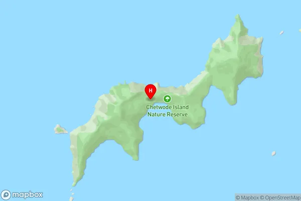
Chetwode IslandsNukuwaiata Island Area Map (Street)
Local Authority
Marlborough DistrictFull Address
Nukuwaiata Island, Marlborough District, New ZealandAddress Type
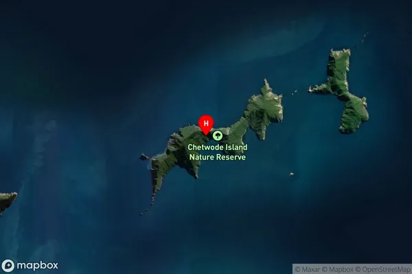
Island in Major Locality Marlborough SoundsNukuwaiata Island Suburb Map (Satellite)
Country
Main Region in AU
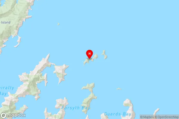
MarlboroughNukuwaiata Island Region Map
Coordinates
-40.89990435,174.070511027409 (latitude/longitude)Distances
The distance from Nukuwaiata Island, Marlborough Sounds, Marlborough District to NZ Top 10 Cities