Nukutaunga Island Area, Nukutaunga Island Postcode & Map in Nukutaunga Island
Nukutaunga Island Area, Nukutaunga Island Postcode & Map in Nukutaunga Island, Far North District, New Zealand
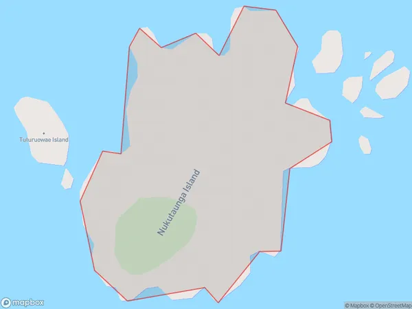
Nukutaunga Island, Far North District, New Zealand
Nukutaunga Island Area (estimated)
0.2 square kilometersNukutaunga Island Population (estimated)
0 people live in Nukutaunga Island, Northland, NZNukutaunga Island Suburb Area Map (Polygon)
Nukutaunga Island Introduction
Nukutaunga Island is a small, uninhabited island in the Bay of Islands, Northland, New Zealand. It is part of the Hokianga Harbour and is surrounded by stunning natural beauty, including rugged cliffs, pristine beaches, and diverse marine life. The island is a popular destination for hiking, kayaking, and wildlife watching, with a population of around 1000 native birds.Region
Suburb Name
Nukutaunga IslandOther Name(s)
Cavalli IslandsNukutaunga Island Area Map (Street)

Local Authority
Far North DistrictFull Address
Nukutaunga Island, Far North District, New ZealandAddress Type
IslandNukutaunga Island Suburb Map (Satellite)

Country
Main Region in AU
NorthlandNukutaunga Island Region Map

Coordinates
-34.97604035,173.965300406561 (latitude/longitude)Distances
The distance from Nukutaunga Island, , Far North District to NZ Top 10 Cities