Nomans Island Area, Nomans Island Postcode & Map in Nomans Island
Nomans Island Area, Nomans Island Postcode & Map in Nomans Island, Southland District, New Zealand
Nomans Island, Southland District, New Zealand
Nomans Island Area (estimated)
0.2 square kilometersNomans Island Population (estimated)
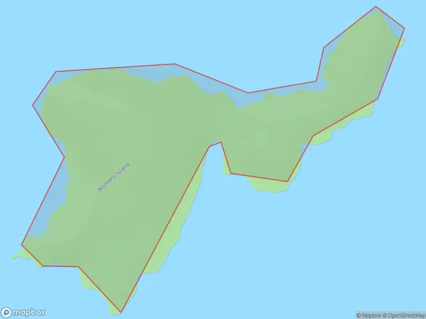
0 people live in Nomans Island, Southland, NZNomans Island Suburb Area Map (Polygon)
Nomans Island Introduction
Southland, New Zealand's Fiordland region, is home to the isolated island of Nomans Island. It is a popular tourist destination and is known for its stunning natural beauty, including lush forests, crystal-clear lakes, and breathtaking mountain views. The island is also home to a variety of wildlife, including seals, penguins, and kea. Visitors can explore the island on foot or by boat and enjoy activities such as hiking, fishing, and kayaking.Region
Suburb Name
Nomans IslandOther Name(s)
Tamatea / Dusky SoundNomans Island Area Map (Street)

Local Authority
Southland DistrictFull Address
Nomans Island, Southland District, New ZealandAddress Type
IslandNomans Island Suburb Map (Satellite)

Country
Main Region in AU
SouthlandNomans Island Region Map

Coordinates
-45.7781799,166.540260937047 (latitude/longitude)Distances
The distance from Nomans Island, , Southland District to NZ Top 10 Cities