Ninepin Rock Area, Ninepin Rock Postcode & Map in Ninepin Rock
Ninepin Rock Area, Ninepin Rock Postcode & Map in Ninepin Rock, Marlborough District, New Zealand
Ninepin Rock, Marlborough District, New Zealand
- 0
Ninepin Rock Population (estimated)
0 people live in Ninepin Rock, Marlborough, NZ0Ninepin Rock Introduction
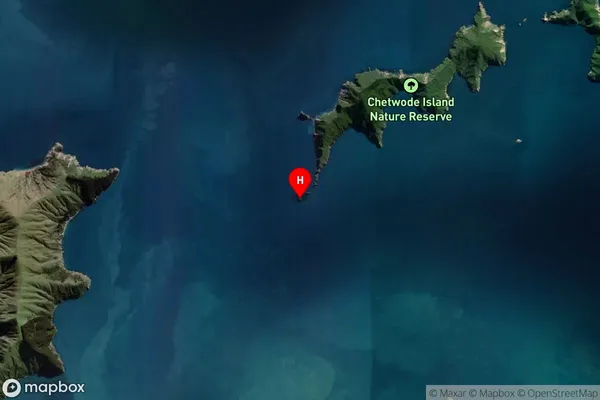
Ninepin Rock is a conspicuous landmark located at the northern entrance of the Marlborough Sounds, New Zealand. It is a popular destination for boaties and tourists due to its scenic beauty and tranquil surroundings. The rock formation resembles a nine-pin bowling pin, hence its name. It provides a sheltered anchorage and is a popular spot for swimming, kayaking, and picnicking. The surrounding area is home to a diverse range of wildlife, including seals, dolphins, and penguins. Ninepin Rock is an essential part of the Marlborough Sounds Heritage Area and is protected under the New Zealand Historic Places Trust.Region
0Suburb Name
Ninepin RockOther Name(s)
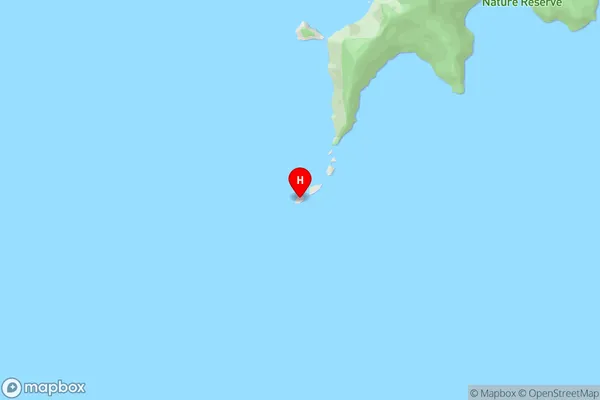
Chetwode IslandsNinepin Rock Area Map (Street)
Local Authority
Marlborough DistrictFull Address
Ninepin Rock, Marlborough District, New ZealandAddress Type
Island in Major Locality Marlborough SoundsNinepin Rock Suburb Map (Satellite)
Country
Main Region in AU
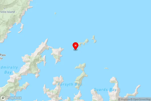
MarlboroughNinepin Rock Region Map
Coordinates
-40.9145444,174.054357454307 (latitude/longitude)Distances
The distance from Ninepin Rock, Marlborough Sounds, Marlborough District to NZ Top 10 Cities