Ngamotu Island Area, Ngamotu Island Postcode & Map in Ngamotu Island
Ngamotu Island Area, Ngamotu Island Postcode & Map in Ngamotu Island, Area outside Territorial Authority, New Zealand
Ngamotu Island, Area outside Territorial Authority, New Zealand
Ngamotu Island Area (estimated)
0.0 square kilometersNgamotu Island Population (estimated)
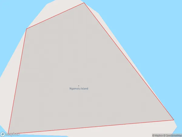
0 people live in Ngamotu Island, Northland, NZNgamotu Island Suburb Area Map (Polygon)
Ngamotu Island Introduction
Ngamotu Island is located in the Bay of Islands, Northland, New Zealand. It is a small, uninhabited island with a rich history and stunning natural beauty. The island is known for its sandy beaches, crystal-clear waters, and diverse marine life, including dolphins, whales, and sea turtles. Ngamotu Island is a popular destination for outdoor activities such as hiking, snorkeling, and kayaking. It is also home to a historic stone fort, built by the British in the 18th century to protect the Bay of Islands from French invaders.Region
Suburb Name
Ngamotu IslandOther Name(s)
Kaipara HarbourNgamotu Island Area Map (Street)

Local Authority
Area outside Territorial AuthorityFull Address
Ngamotu Island, Area outside Territorial Authority, New ZealandAddress Type
IslandNgamotu Island Suburb Map (Satellite)

Country
Main Region in AU
NorthlandNgamotu Island Region Map

Coordinates
-36.2558262,174.323335360262 (latitude/longitude)Distances
The distance from Ngamotu Island, , Area outside Territorial Authority to NZ Top 10 Cities